About the Institute
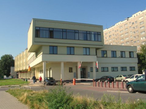
The Institute of Geodesy and Cartography is a research institute that has been in operation since 1945, under the Ministry of Development and Technology.
The Institute of Geodesy and Cartography has long been considered one of Poland’s main analytical and research centers, focusing on the scientific and practical analysis of geospatial data, currently with broad applications of satellite technologies and imagery. The Institute’s strategic goal is to create, process, and provide spatial information to government authorities, local governments, and many other users, which is necessary for creating and controlling spatial order, managing spatial resources, and monitoring changes occurring in space.
The Institute’s team of scientists has achieved significant results, pioneering Polish methodologies and technologies for various applications of remote sensing, including land use monitoring, forest monitoring, and agricultural applications.
The Institute possesses unique national and global experience in observing our planet, making it a professional partner to many universities, businesses, and public administration bodies. In carrying out research and development activities, the Institute collaborates with numerous national and international institutions and organizations.
At the Institute of Geodesy and Cartography, research is currently conducted in three key departments: the Remote Sensing Center, the Geodesy and Geodynamics Center, and the Applied Geomatics Center.
The Institute also operates the Borowa Góra Geodetic-Geophysical Observatory, located in Jadwisin near the Zegrzyński Reservoir. The observatory houses three permanent GNSS stations, a gravimetry laboratory equipped with the latest technology, a geomagnetic measurement station, and a baseline for the calibration of distance meters.
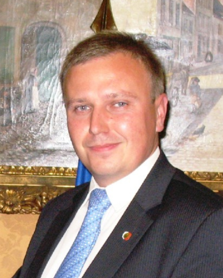
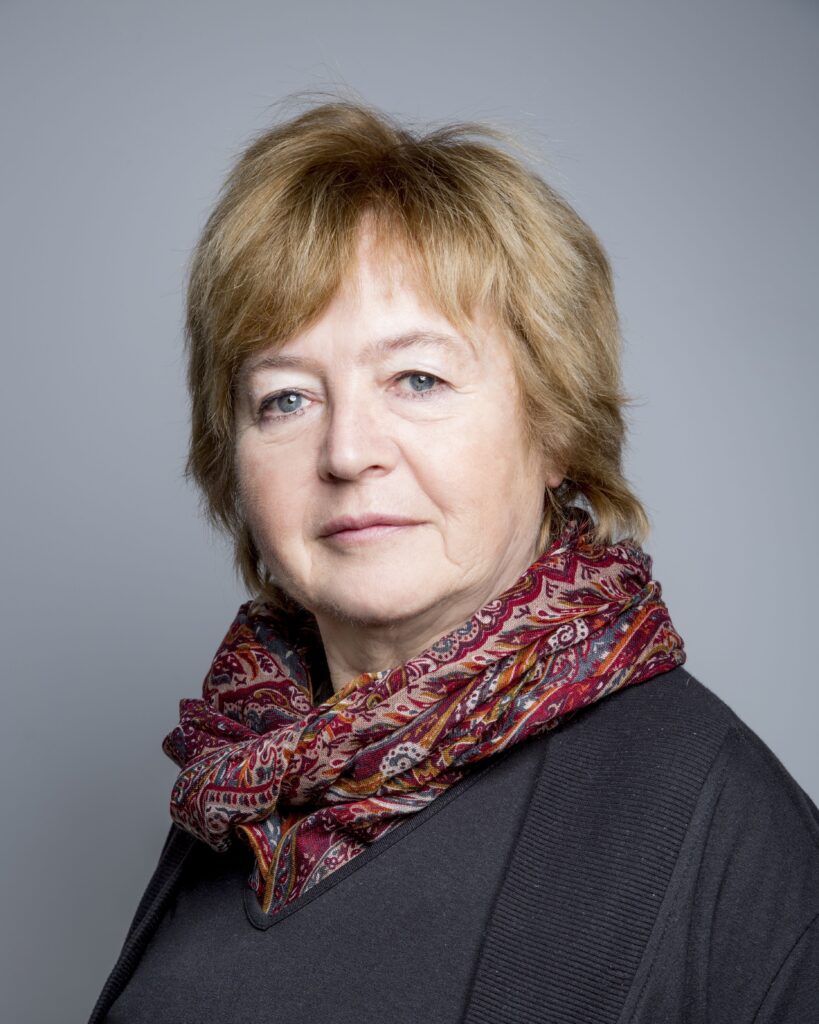
Scientific Secretary of IGIK
Prof. Katarzyna Dąbrowska-Zielińska, PhD
Scientific Council Chair
prof. dr hab. inż. Paweł Wielgosz
Scientific Council Vice Chairs
prof. dr hab. inż. Elżbieta Bielecka
Scientific Council Secretary
dr hab. Dariusz Dukaczewski, prof. IGiK
Scientific Council Members
prof. dr hab. inż. Janusz Bogusz
prof. dr hab. Katarzyna Dąbrowska-Zielińska
dr inż. Ewa Panek-Chwastyk
dr inż. Przemysław Dykowski
mgr inż. Magdalena Łągiewska
dr hab. inż. Paweł Hanus, prof. AGH
dr hab. inż. Janusz Walo – reprezentant Ministra Edukacji i Nauki
dr hab. inż. Marek Przyborski, prof. AMW
dr hab. inż. Michał Szota, Dyrektor IGIK
dr hab. Bogdan Zagajewski, prof. UW
prof. dr hab. inż. Robert Olszewski
History
The Institute of Geodesy and Cartography (IGiK) is one of the most important scientific and research institutions in Poland, specializing in geodesy, cartography, and remote sensing. Its history dates back to the post-war years, when it was necessary to rebuild and modernize the country’s geodetic infrastructure.
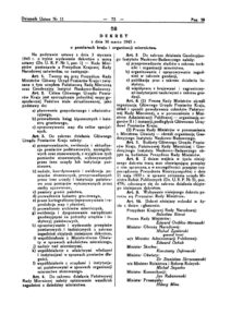
The Institute was established on March 30, 1945, by the National Council Decree under the initial name of the Geodetic Research Institute.
The creation of the Institute aimed to rebuild and develop Polish geodesy and cartography after the wartime destruction. In its early years, the research conducted at the Institute focused on new methods and techniques for geodetic calculations, principles of design, establishment, and development of fundamental geodetic, gravimetric, and magnetic reference networks, as well as geodetic methods for measuring soil and structural deformations.
In the 1950s and 1960s, IGiK played a key role in modernizing Polish cartography, introducing advanced measurement technologies and computational methods. The first research on the use of aerial and satellite imagery for geodetic purposes also began during this time.
In the following decades, particularly in the 1970s and 1980s, the Institute expanded its activities in the fields of remote sensing and geographic information systems (GIS). In 1976, the Institute established a national remote sensing center, known as the Aerial and Satellite Image Processing Center. During this period, cooperation with international organizations was initiated, and work on digital cartographic databases began.
With the development of digital technologies and the growing importance of satellite systems, IGiK became a leader in Earth observation using satellite technologies.
80 years of the Institute of Geodesy and Cartography – from tradition to modernity
In 2025, the Institute of Geodesy and Cartography (IGiK) in Warsaw celebrates its 80th anniversary – eight decades of work for the development of Polish science, geodesy, cartography, remote sensing and gravimetry.
The anniversary celebrations, which took place on 11 September 2025 at the Staszic Palace, brought together representatives of the world of science, public administration, ministries, universities, government institutions, national partners, and former and current employees of the Institute.
The joint meeting was an opportunity to summarise achievements, recall history and present the latest directions of research and implementations carried out at the Institute.
