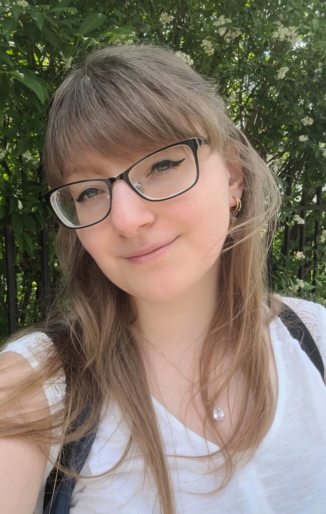
Graduate of the Faculty of Geography and Regional Studies at the University of Warsaw, specializing in geoinformatics, cartography, and remote sensing. She is scholarship holder in the OPUS Mireclim project, co-created with the Institute of Geography and Spatial Management of the Polish Academy of Sciences and the University of Warsaw. In her scientific work, she focuses primarily on the use of remote sensing techniques and the latest algorithms for the study and monitoring of wetlands. She is proficient in ArcGIS, QGIS, and Google Earth Engine, and has programming skills in Python and R.
She has been working at the Institute of Geodesy and Cartography since April 2025 as an assistant to the head of the Remote Sensing Center. In addition, she is a member of the team responsible for collecting field data.

