Celebrations marking the 80th anniversary of the Institute of Geodesy and Cartography

Celebrations marking the 80th anniversary of the Institute of Geodesy and Cartography

80 years of the Institute of Geodesy and Cartography

– from tradition to modernity

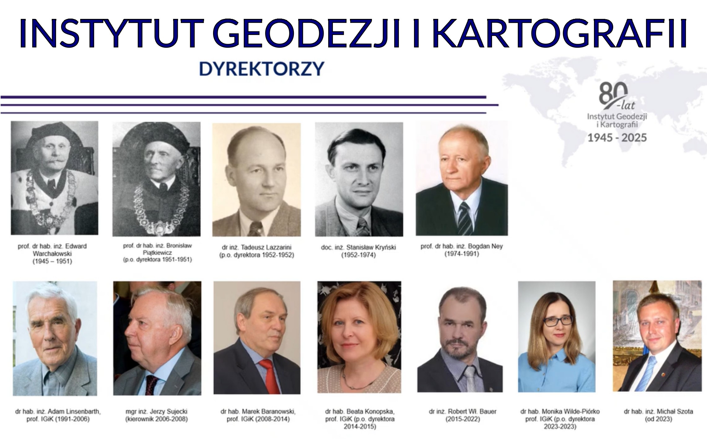
In 2025, the Institute of Geodesy and Cartography (IGiK) in Warsaw celebrates its 80th anniversary – eight decades of work for the development of Polish science, geodesy, cartography, remote sensing and gravimetry.

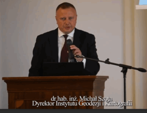
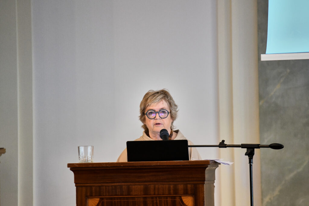
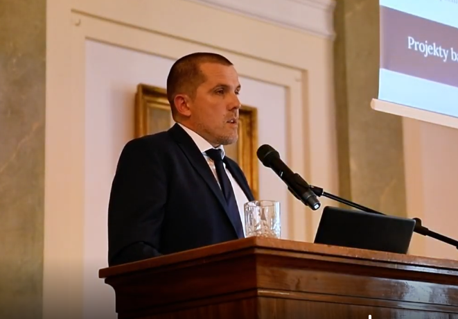
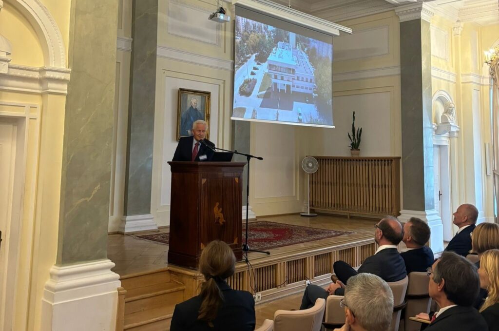
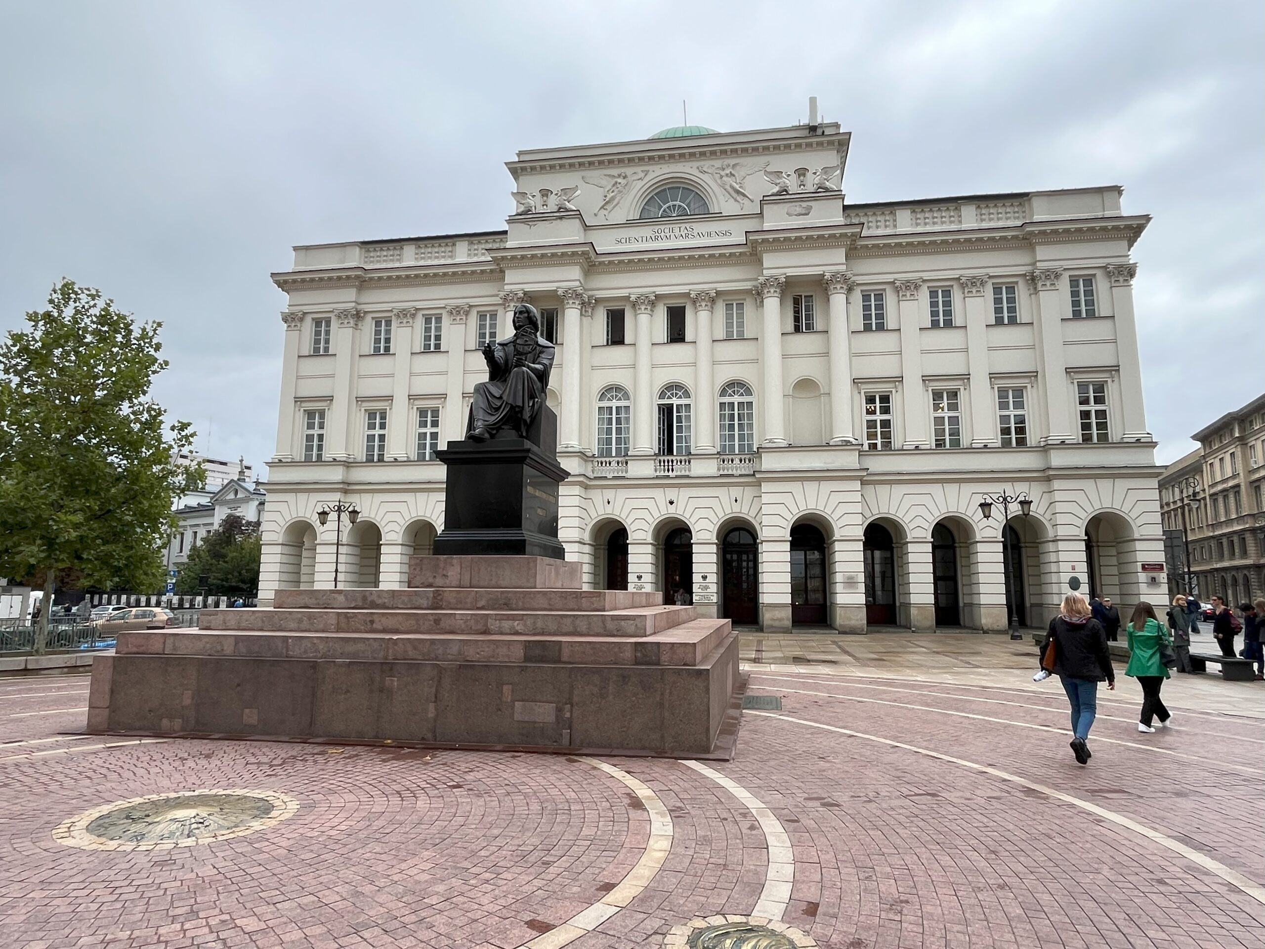
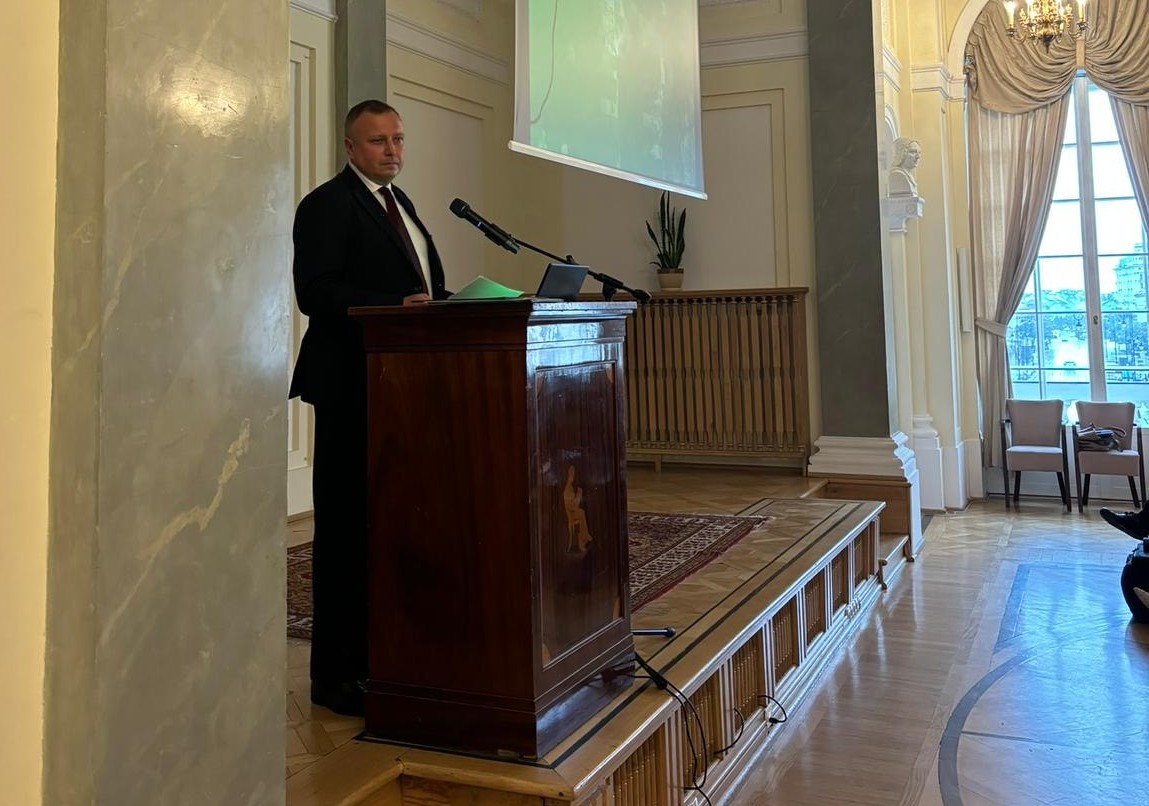
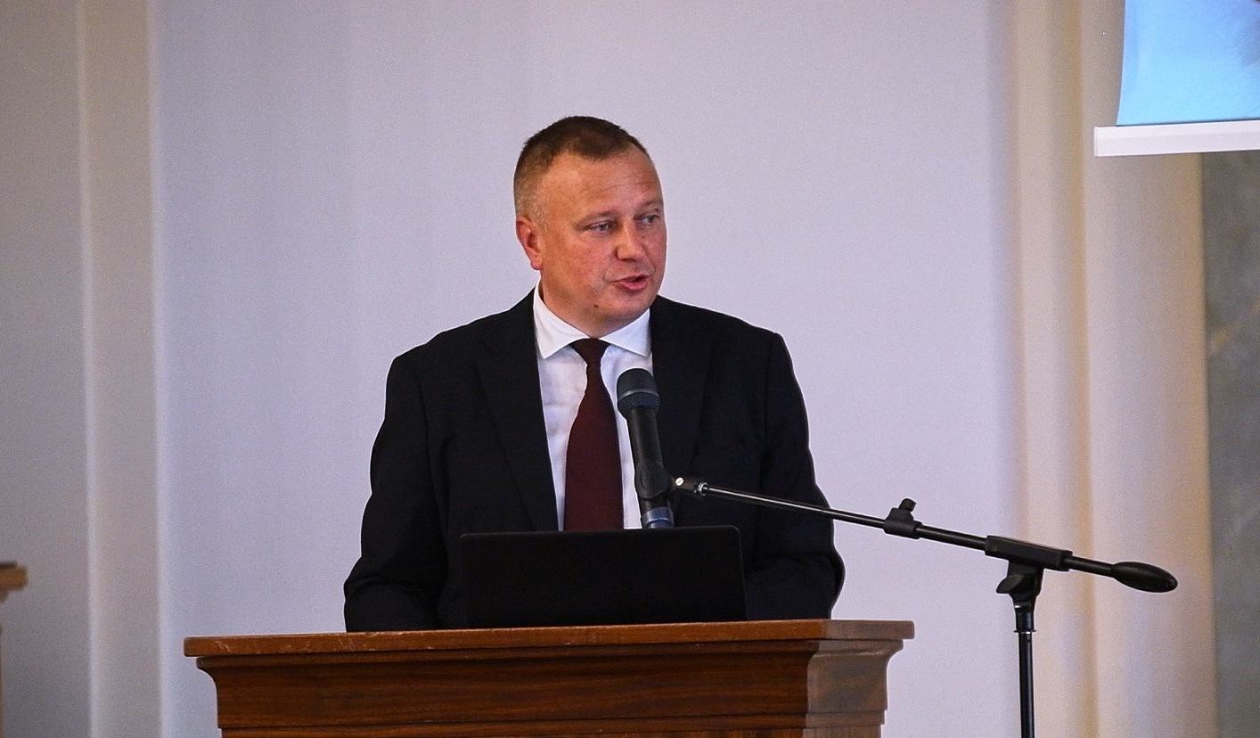
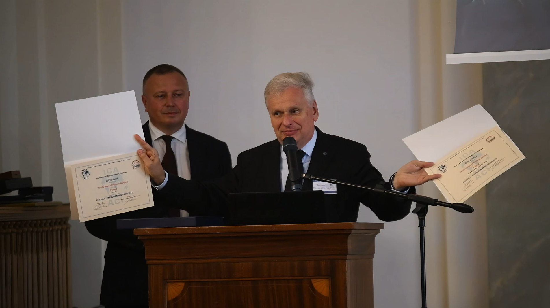
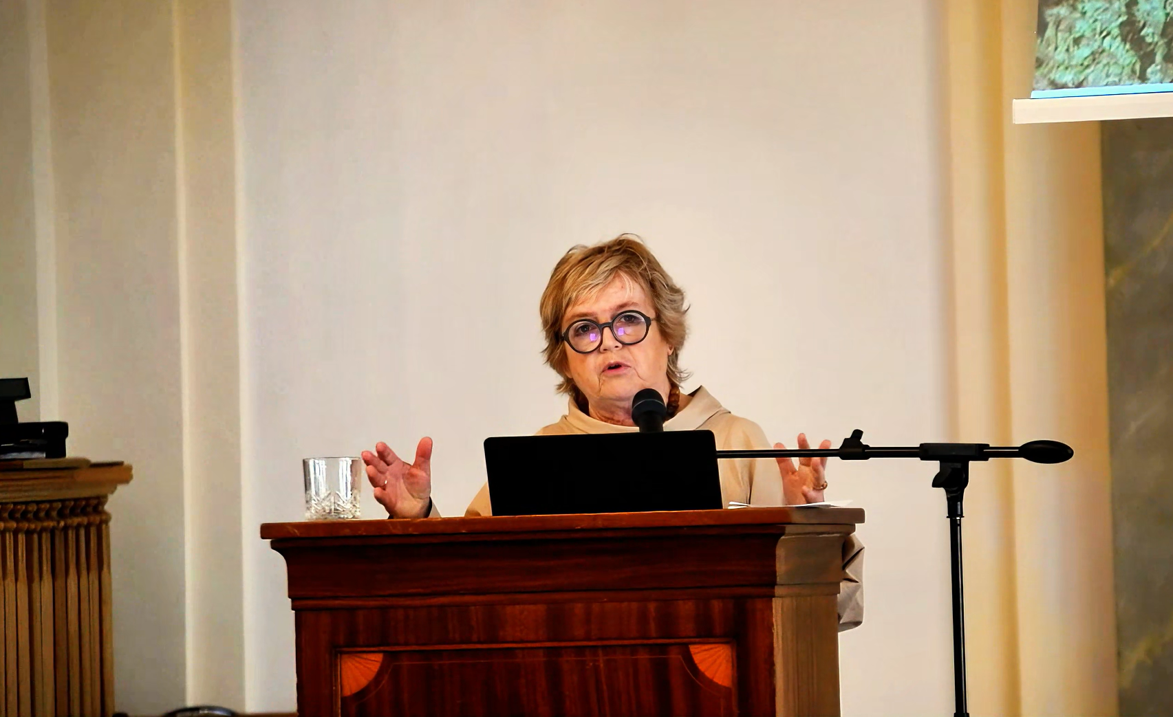
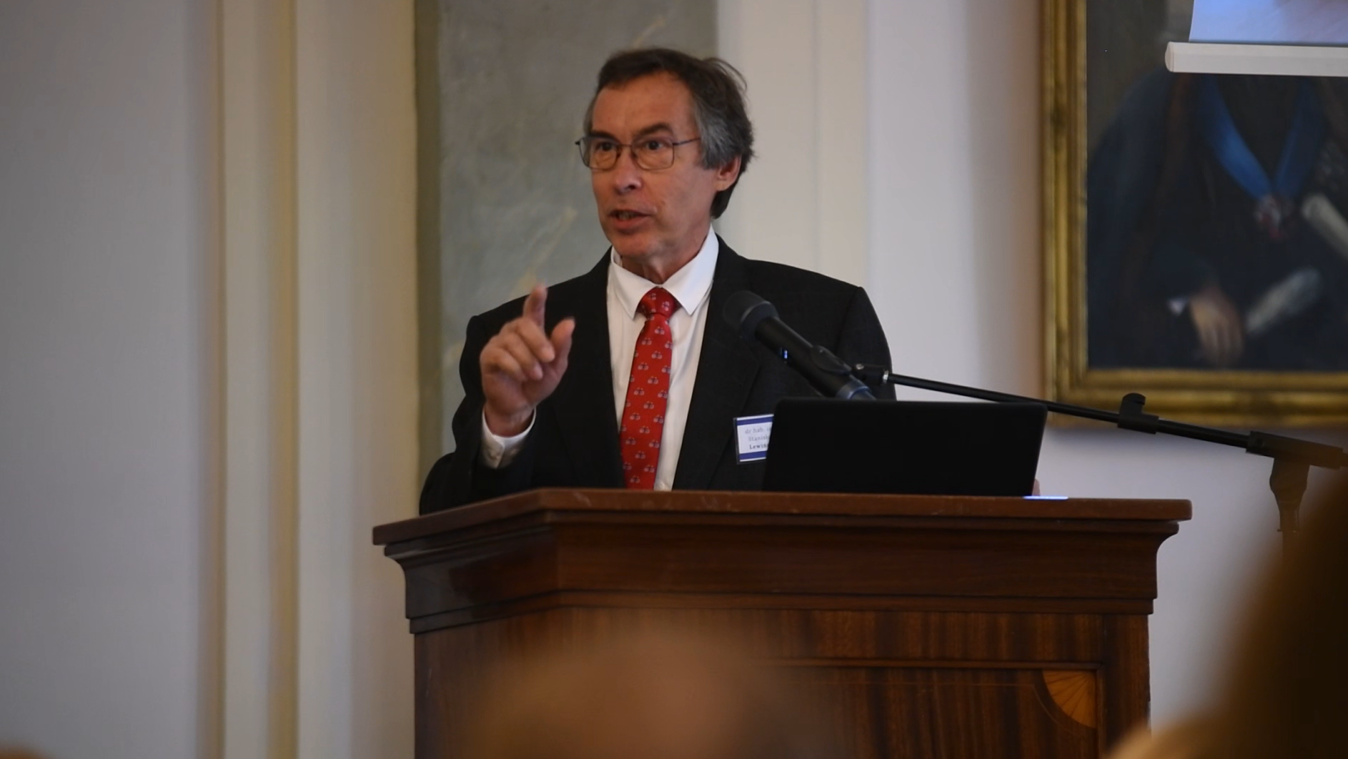
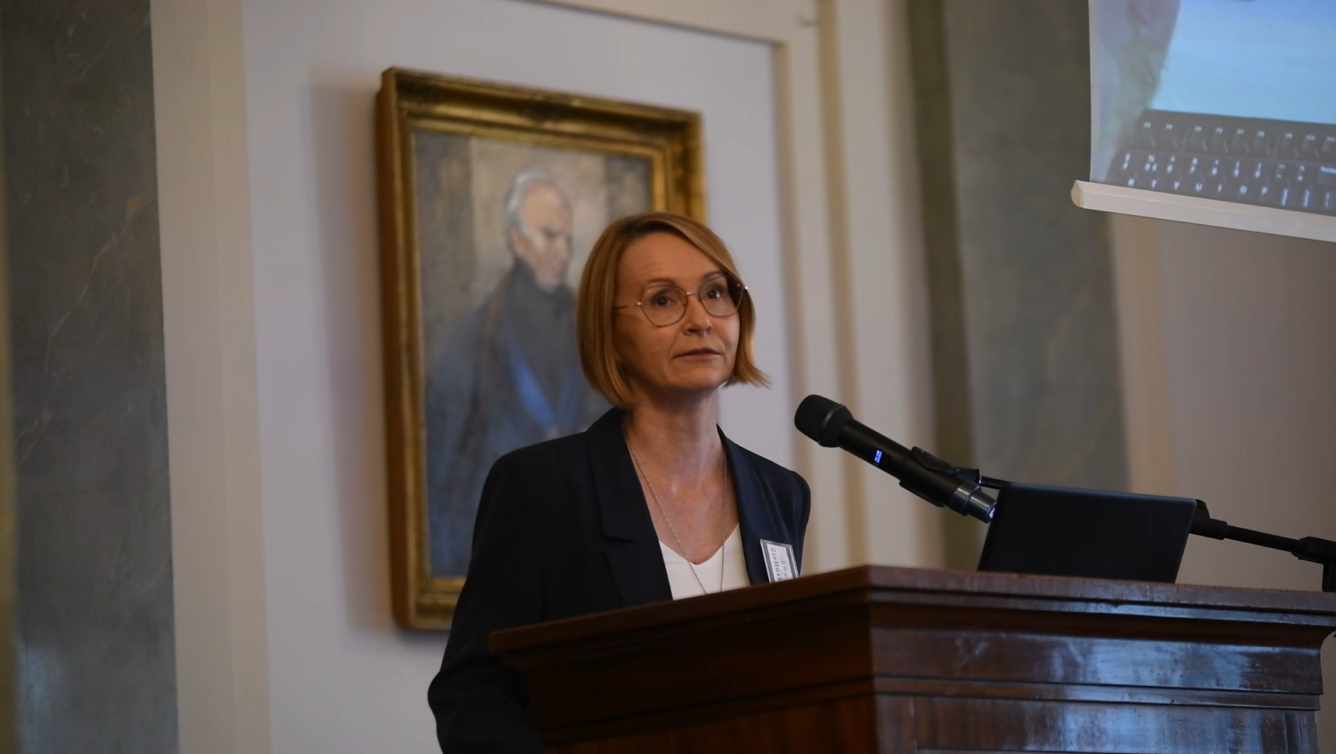
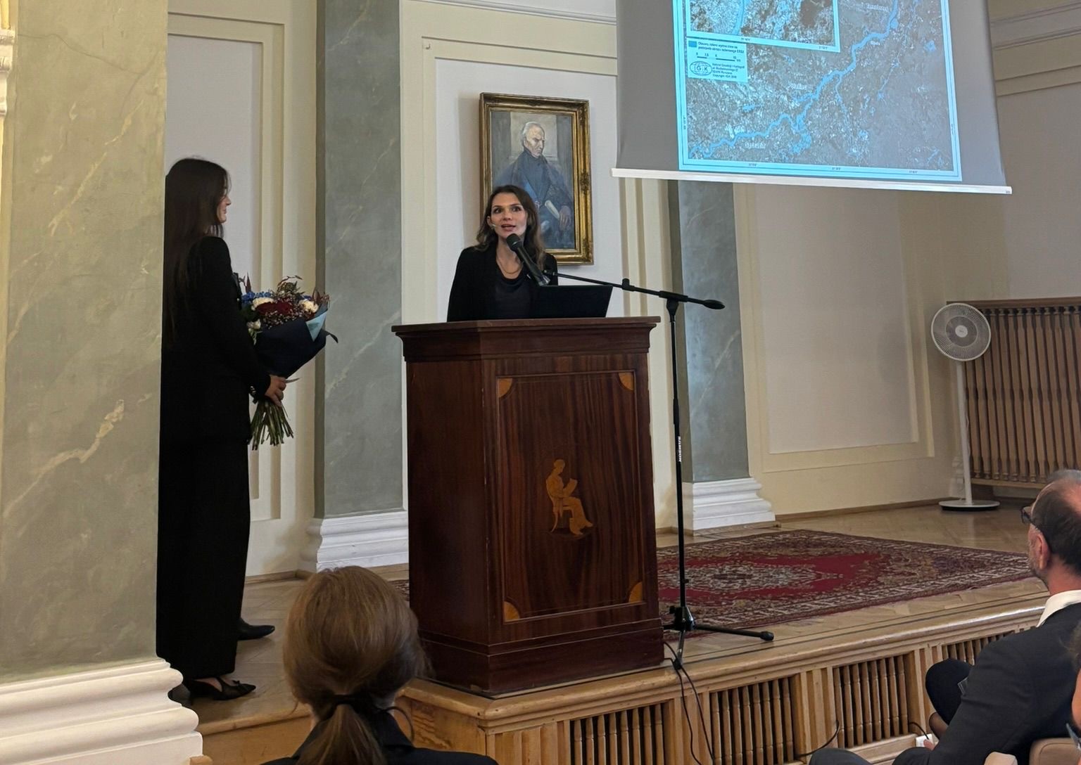
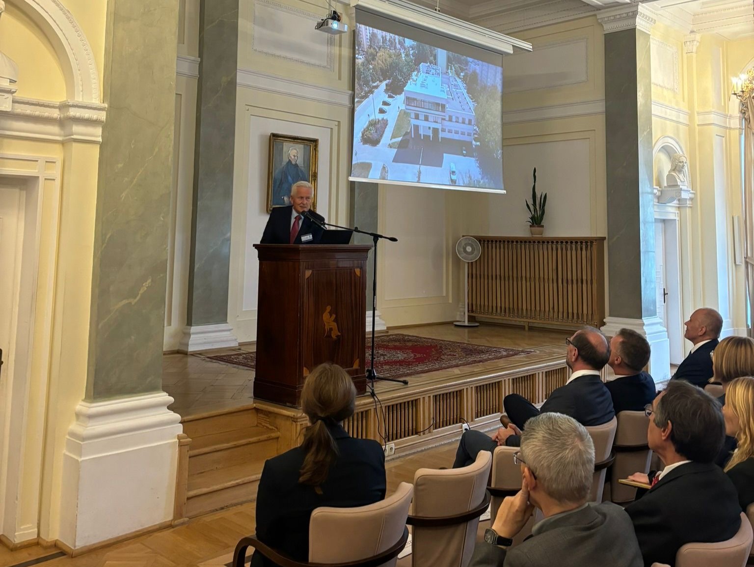
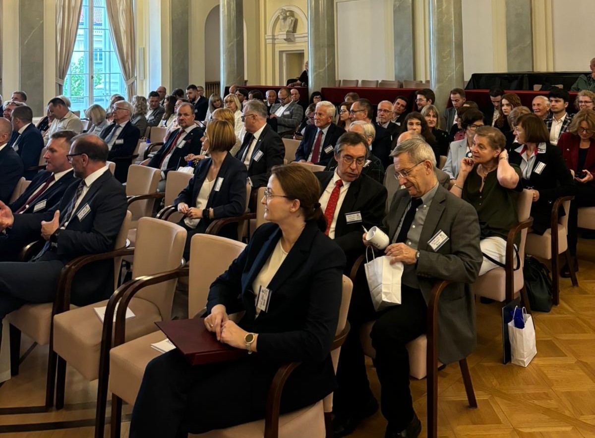
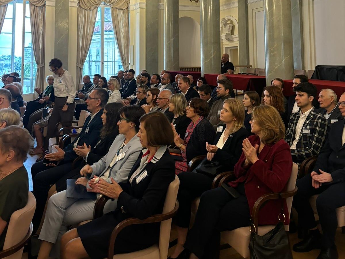
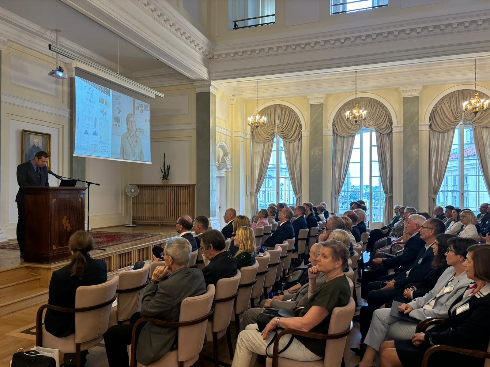
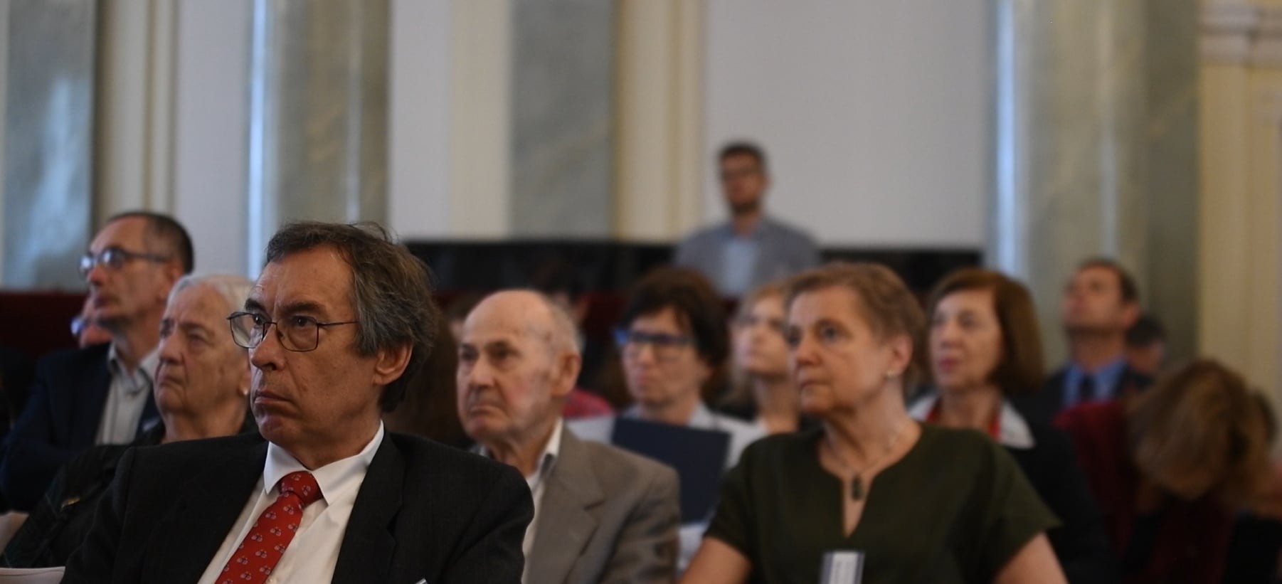
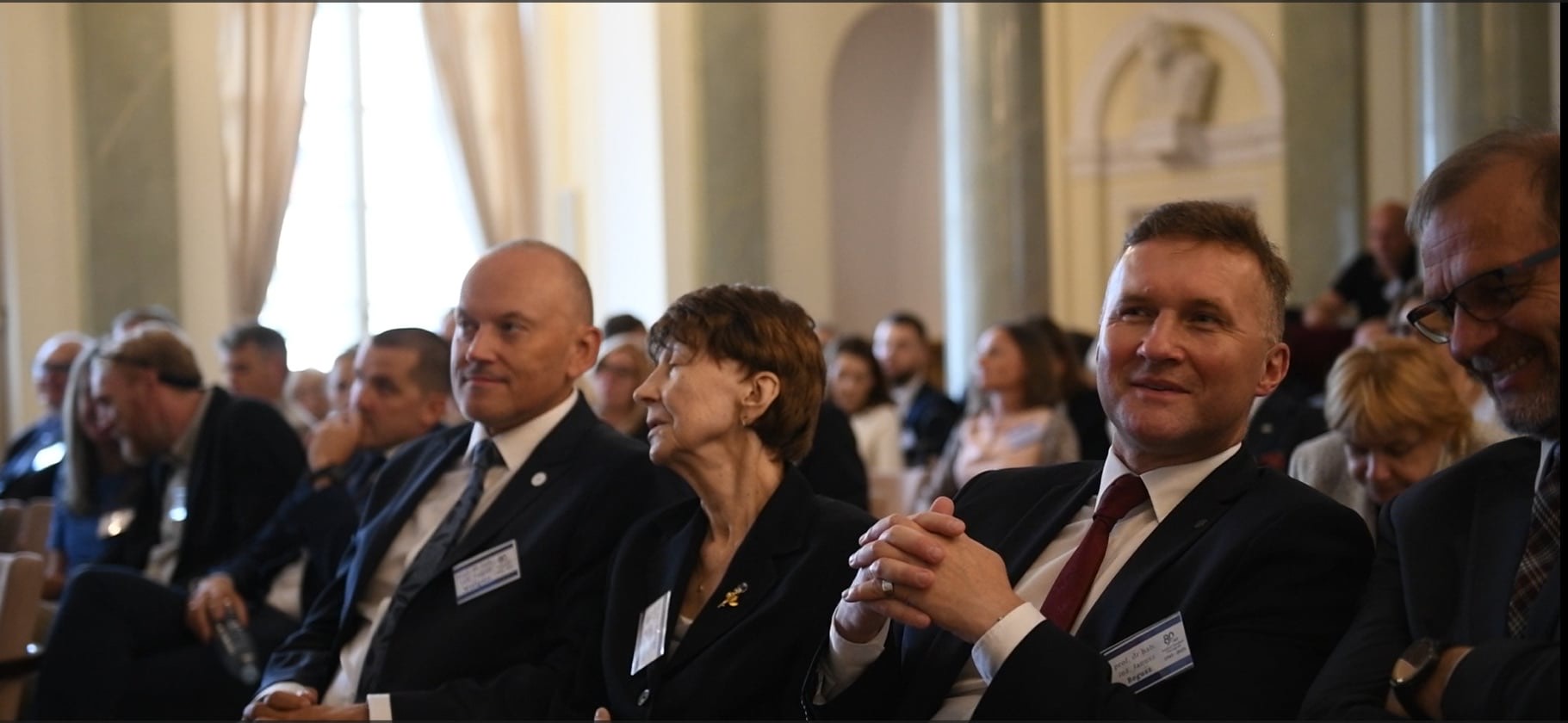
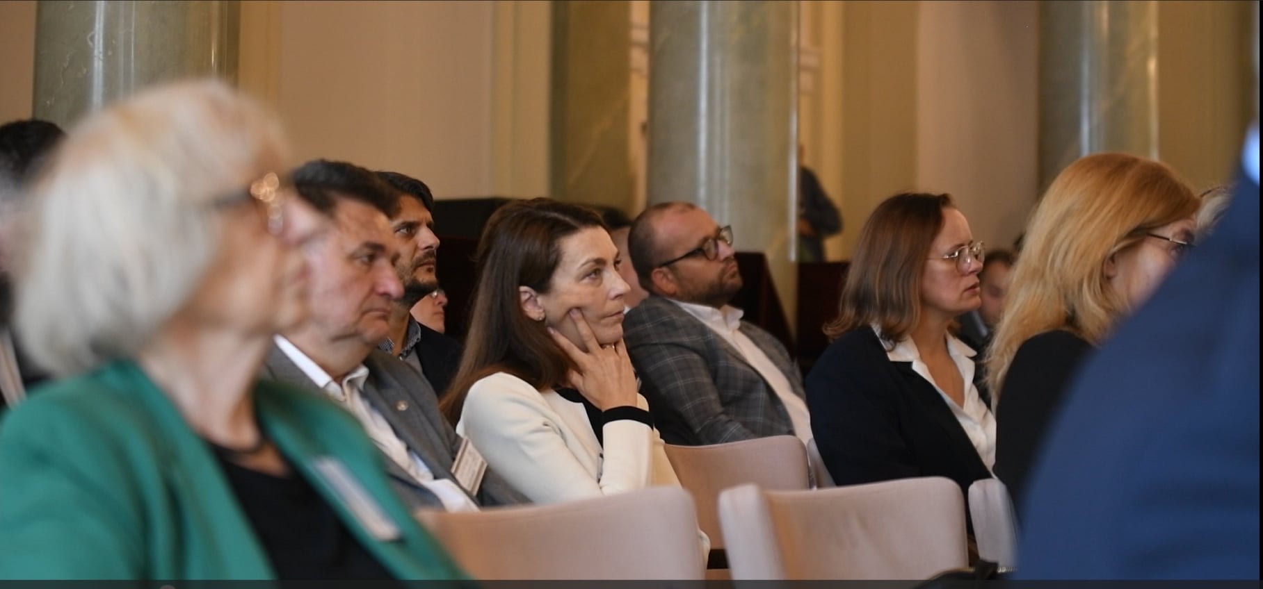
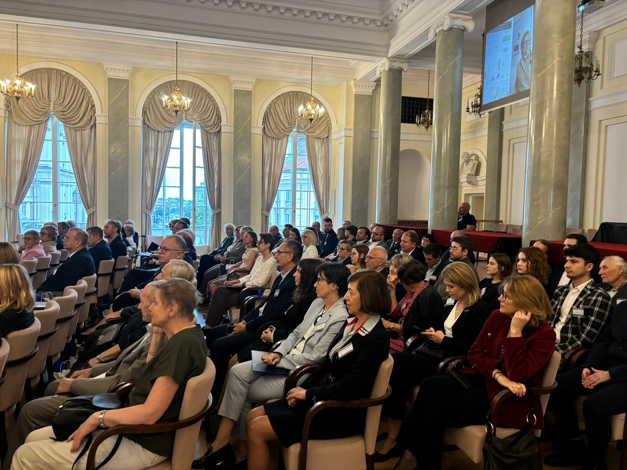
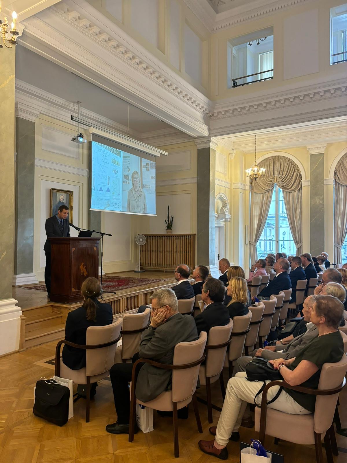
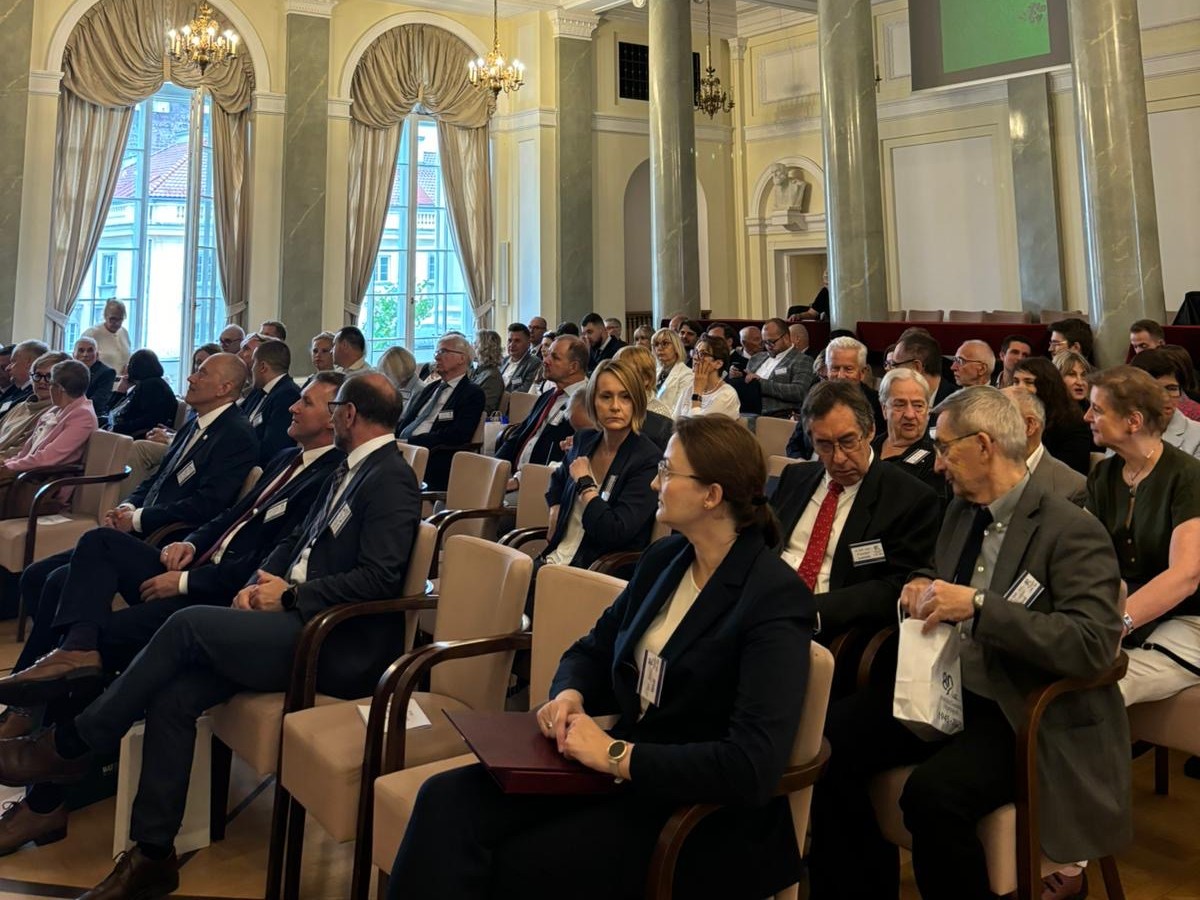
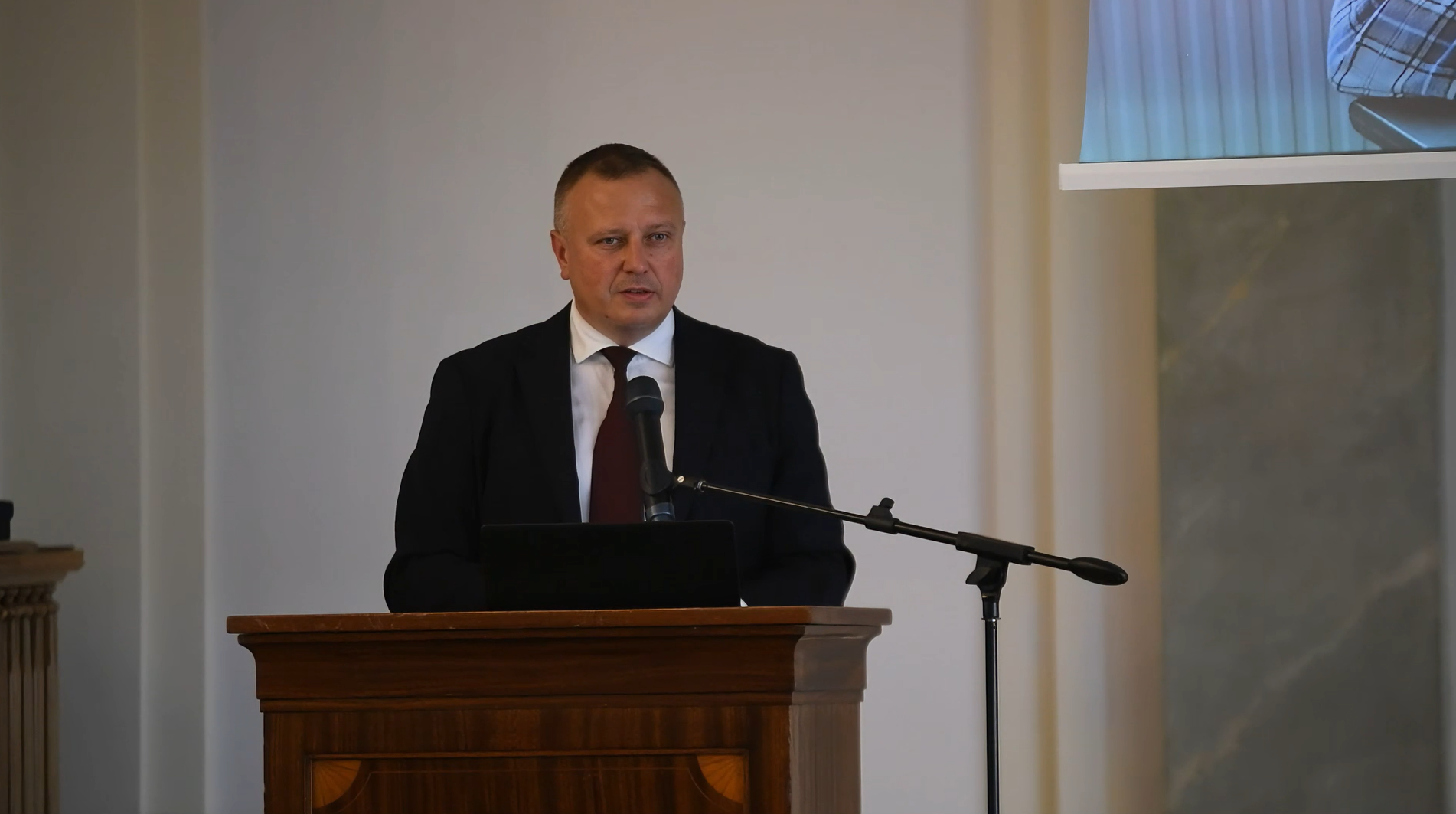
The anniversary celebrations, which took place on 11 September 2025 at the Staszic Palace, brought together representatives of the world of science, public administration, ministries, universities, government institutions, national partners, and former and current employees of the Institute.

The joint meeting was an opportunity to summarise achievements, recall history and present the latest directions of research and implementations carried out at the Institute.


Heritage and history of IGiK

The Institute’s roots go back to the Geodetic Research Institute (GINB), established by a decree of the Presidium of the Council of Ministers on 30 March 1945.

In 1955, this unit was transformed into the Institute of Geodesy and Cartography, which over the following decades shaped Polish geodesy, cartography and photogrammetry, developed measurement methods, co-created national reference systems and participated in the creation of the state’s geoinformation infrastructure.

From the very beginning, the IGiK combined scientific and practical work – from establishing triangulation and gravimetric networks, through cartographic studies, to pioneering applications of satellite and aerial photographs in environmental analyses.

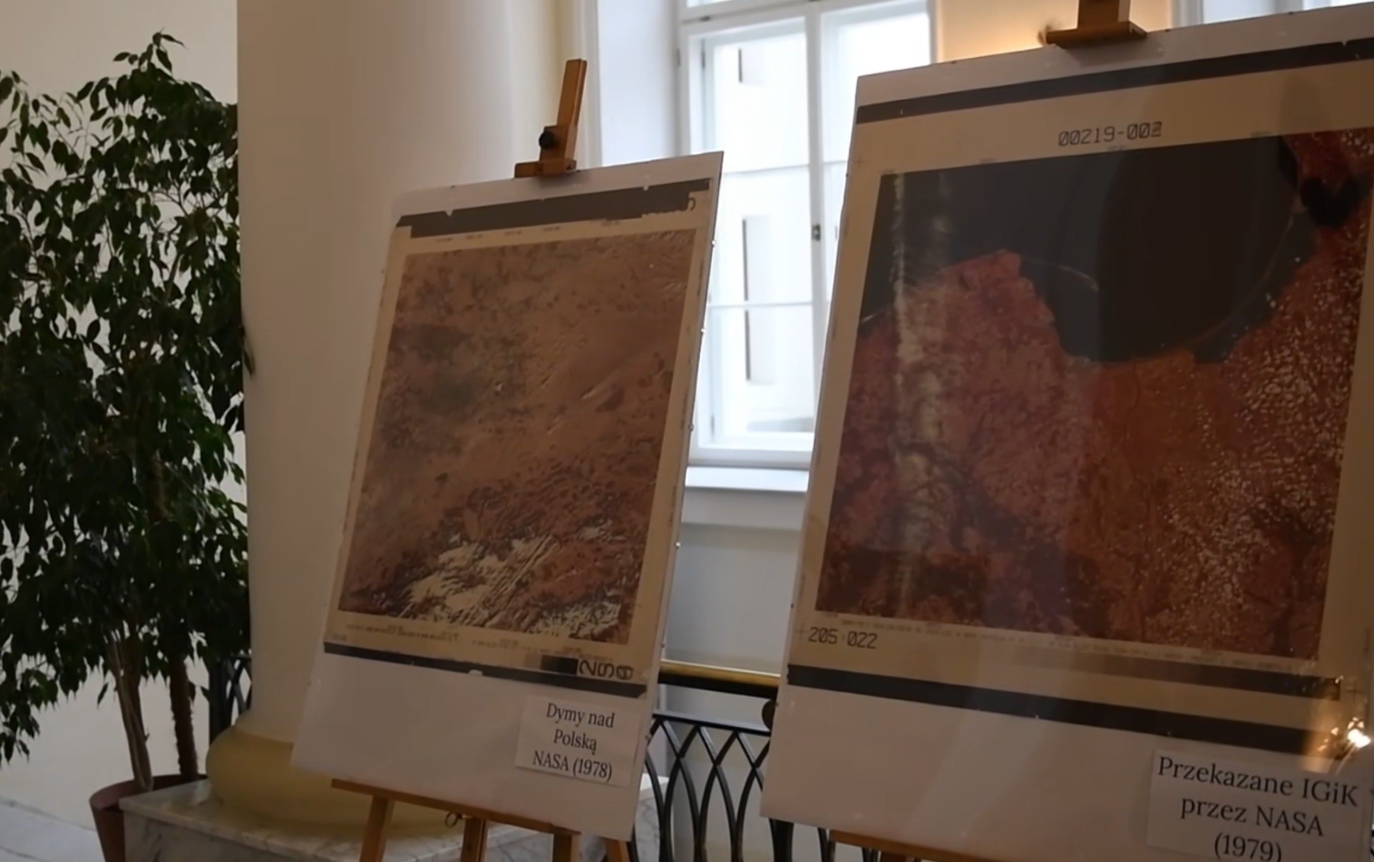
In the 1970s and 1980s, the IGiK was one of the first centres in Central Europe to implement digital satellite image analysis systems (OVAAC-8) and began cooperating with NASA, FAO and the European Environment Agency in the field of remote sensing.

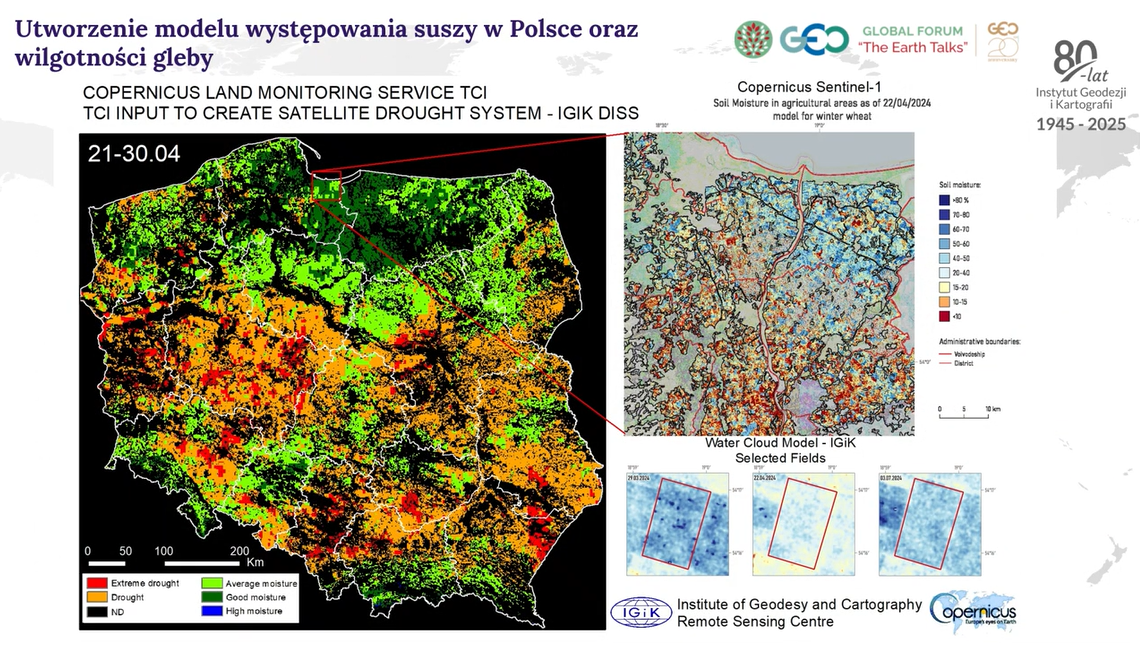
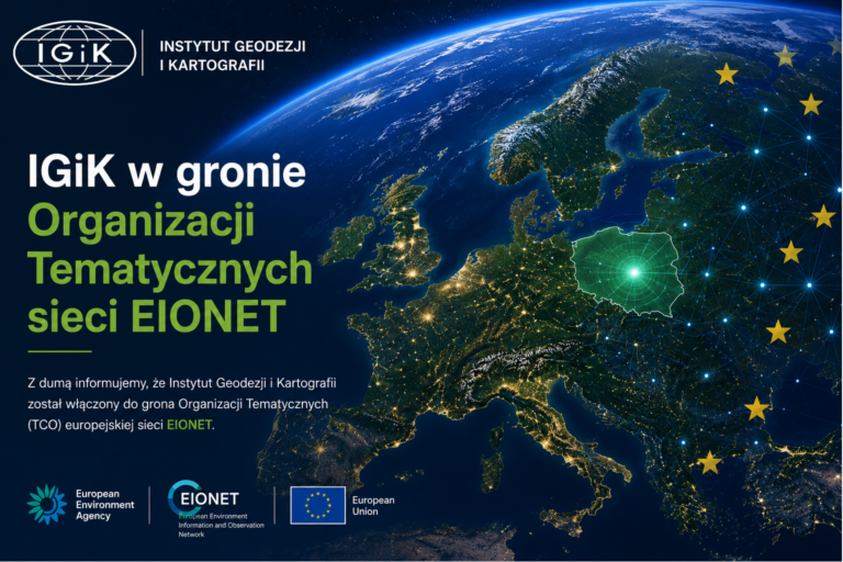
In the following decades, the Institute carried out numerous international projects – from CORINE Land Cover and MERA (Monitoring Environmental Resources Application) to participation in the European Earth observation systems INSPIRE, EPOS, Copernicus and ESA Earth Observation.

It was at IGiK that Poland’s first GIS tools, spatial data processing systems and national environmental information databases were created.

As emphasised during the anniversary celebrations, the Institute has come a long way from paper maps to satellite maps, from theodolites to quantum gravimeters, from classical cartography to Big Data analysis and 3D models of the Earth.

Applied Geomatics Center
Remote Sensing Centre
Geodesy and Geodynamics Center

Structure of the Institute

– three pillars of research

The scientific and research activities of the Institute of Geodesy and Cartography are currently based on three leading centres, which together form a comprehensive system for observing and analysing the Earth – from its surface to its deeper layers, from local measurements to global satellite observation.

Remote Sensing Centre (CT)

Head: Prof. Katarzyna Dąbrowska-Zielińska

The Remote Sensing Centre continues the tradition of the Aerial and Satellite Image Processing Centre (OPOLiS), which, as the National Remote Sensing Centre, has carried out over 500 research and implementation projects over the past 25 years.

Since the 1970s, the Institute of Geodesy and Cartography has been a pioneer in the use of Landsat satellite images, and in 1996 it launched Poland’s first NOAA image reception station in Warsaw.

Today, the Remote Sensing Centre conducts complex research in the following areas:

  • monitoring of plant growth conditions, drought and soil moisture (GAUSS, FPCUP, Service4Drought projects),
  • analysis of crop coverage, biomass and yields (JECAM, ORCHARDSCAN, GrasSAT, PRIME, AGRONAUCI),
  • modelling of carbon balance and water retention (EOStat, FINEGRASS, REMBIOFOR, POLWET),
  • monitoring of forests and wetlands (GlobBiomass, BIOSTRATEG),
  • assessment of the condition of green areas and urban ecosystems (CITYNEXT, Urban Cooling Model, Well-Being Ecosystem Services).

The Centre cooperates with the European Space Agency (ESA), the European Commission, FAO, EEA, NCBiR, NCN, POLSA and the Central Statistical Office.

The solutions developed by the team are used in public administration, water management, spatial planning, agriculture and climate protection.

As Prof. Dąbrowska-Zielińska emphasised during the anniversary celebrations:

‘You can see more from the sky than from the ground. Our task is to understand this data so that it can serve people, the environment and the future.’

Applied Geomatics Center (CGS)

Assistant Professor: Sebastian Banaszek, PhD

CGS is a modern unit developing geospatial systems, integrated data models and digital twins of space.

The unit specialises in the analysis and integration of satellite, UAV and ground sensor data, combined with artificial intelligence and machine learning algorithms.

The most important projects implemented in recent years:

  • Integrated Digital Twin of EU Borders (FRONTEX) – a real-time border monitoring system integrating satellite, radar and operational data,
  • IMAGE-UP (ESA/NCBiR) – improving the use of Sentinel-2 data through super-resolution technology,
  • 1:5000 soil and agricultural map for GUGiK (2024) – one of the largest national cartographic studies in recent years,
  • GEOzasób2 – a portal providing annually updated thematic orthophotomaps of Poland in the form of WMS services.


By combining scientific research and practice, the Centre for Applied Geomatics supports public administration, border services, crisis management, agriculture and environmental protection, creating solutions at the intersection of science and technology.

Geodesy and Geodynamics Center (CGG)

Head: Dr Przemysław Dykowski

The centre conducts research in the fields of geodynamics, gravimetry, magnetism and geodetic metrology.

It runs the Borowa Góra Geodetic and Geophysical Observatory – the only one in Poland where gravimetric, magnetic, GNSS, meteorological and seismic measurements are performed simultaneously. The data collected there – continuously for decades – constitute a unique geophysical archive of international importance.

The research of the Centre for Geodesy and Geodynamics includes:

  • monitoring changes in the Earth’s gravitational field,
  • absolute and relative gravity measurements (A10-020, AQG-B07, iGrav-027),
  • modernisation of national gravimetric and magnetic networks,
  • metrology and calibration of geodetic instruments.


The team carries out European-wide projects, including:

  • EQUIP-G (Horizon Europe 2025–2029) – development of European quantum gravimeter infrastructure,
  • QuGrav (NCBiR INNOGLOBO III, 2024–2027) – improvement of quantum measurement technology,
  • EPOS-PL – geodynamic observations of the European plate in cooperation with GUM, CBK PAN and IGF PAN.


The Centre for Geodesy and Geodynamics actively participates in international research structures such as EUREF, IGETS, AGrav, MagNetE and EPOS.

The meaning and message of the anniversary

The celebrations of the 80th anniversary of the Institute of Geodesy and Cartography were not only a summary of its achievements, but also a manifestation of the continuity and modernity of Polish geodesy science.

The event featured:

  • speeches by the Director of the Institute and the heads of research centres, presenting the scientific achievements and main directions of development of the Institute,
  • multimedia presentations containing photographs and compilations documenting eight decades of the history of the Institute of Geodesy and Cartography – from its establishment in 1945 to its contemporary achievements,
  • an exhibition of photographs and posters showing the evolution of measurement technology and the use of modern satellite imagery and remote sensing data in scientific research and practice,
  • presentations of European, implementation and application projects illustrating the current participation of the Institute of Geodesy and Cartography in national and international research initiatives.


The participants of the anniversary celebrations emphasised that the Institute of Geodesy and Cartography is today a modern European-class research and development centre, combining tradition and experience with innovation and future technologies.

Multimedia presentations

Slides from anniversary presentations showing the history and current projects

IGiK 80th Anniversary – Video Highlights & Event Report

A short, dynamic recap showcasing the key moments of the IGiK 80th Anniversary. Event highlights, atmosphere, and the most important moments of the celebration

A full recording of the presentations and speeches delivered during the anniversary, including the Director’s address and summaries of the Institute’s achievements and development directions.