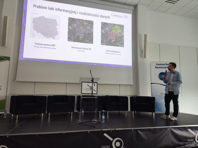
An article titled “Irregular Area Cartograms for Local-Level Presentation of Selected SDGs Indicators Based on Earth Observation Data” by Dr. Anna Markowska (Centre for Applied Geomatics) and Dr. hab. Dariusz Dukaczewski, Prof. IGiK (Remote Sensing Centre), has been published in the ISPRS International Journal of Geo-Information.
The study evaluates the usefulness of irregular area cartograms in visualizing sustainable development indicators derived from Earth Observation (EO) data. The analysis focuses on SDG 11 and SDG 13, and on indicators related to green areas and air quality at the commune and county levels. The results show that irregular cartograms effectively reveal spatial variability in such variables as green space availability and air pollution, complementing traditional cartographic representations. The publication is available at: https://www.mdpi.com/2220-9964/14/12/500 We encourage you to read the article.
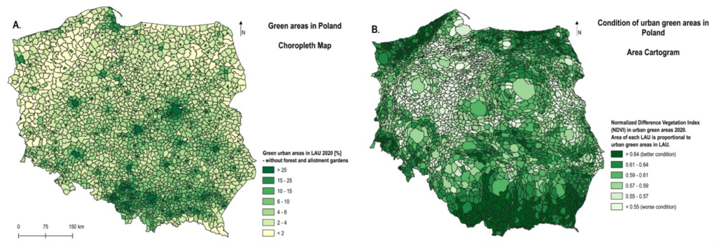
Figure. Green areas in communes. A – presentation using a choropleth map, B – presentation using a cartogram (area cartogram).