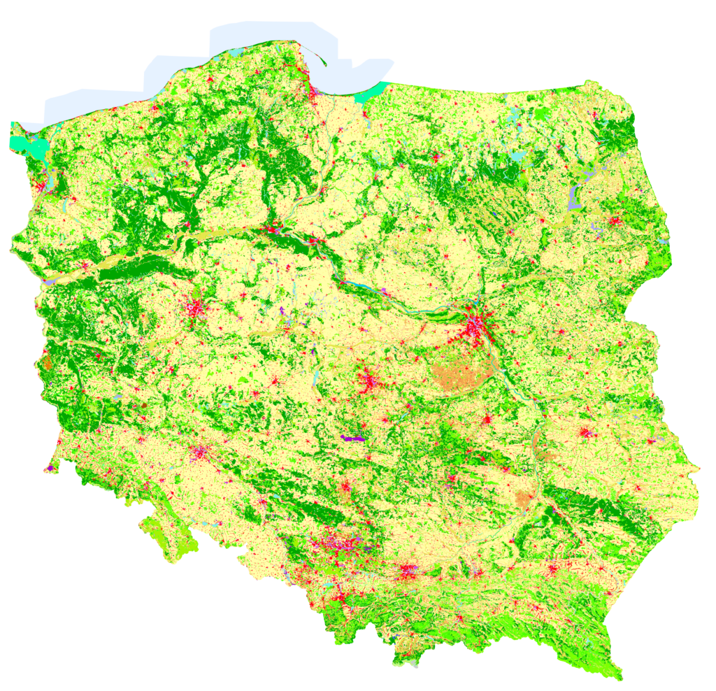

The Institute of Geodesy and Cartography (IGiK) in Warsaw, acting as one of the EIONET National Reference Centres for Land Cover, has completed the work related to the preparation of the Polish component of the CORINE Land Cover 2024 (CLC2024) database, as well as the database of land cover and land use changes for the period 2018–2024. The project was carried out by staff from two of the Institute’s centres: the Centre of Applied Geomatics and the Remote Sensing Centre.
The data were prepared using a methodology applied by all countries participating in the programme and in accordance with the guidelines of the European Environment Agency (EEA).
Various satellite imagery, including data from Sentinel-2A/B and Landsat 8 and 9, was used to map land cover and land use changes. Verification and interpretation of land cover changes were supported by archival and current satellite imagery available through Google Earth. As an additional source of information, orthophoto maps provided through Poland’s national spatial information infrastructure geoportal via WMS and WMTS web services were used.
As a result of the work, the following CLC2024 databases were produced:
- CORINE Land Cover 2018–2024 (CHA24_PL) – land cover/land use change database,
- CORINE Land Cover 2024 (CLC24_PL) – land cover/land use database,
- Corrected CORINE Land Cover 2018 (CLC18_PL) – land cover/land use database.
At the national level, the project was coordinated by the Chief Inspectorate of Environmental Protection (GIOŚ), which hosts the National Focal Point for cooperation with the EEA within the European Environment Information and Observation Network (EIONET), as well as the EIONET National Reference Centre for Land Cover. The Chief Inspectorate of Environmental Protection is also responsible for disseminating the project results.