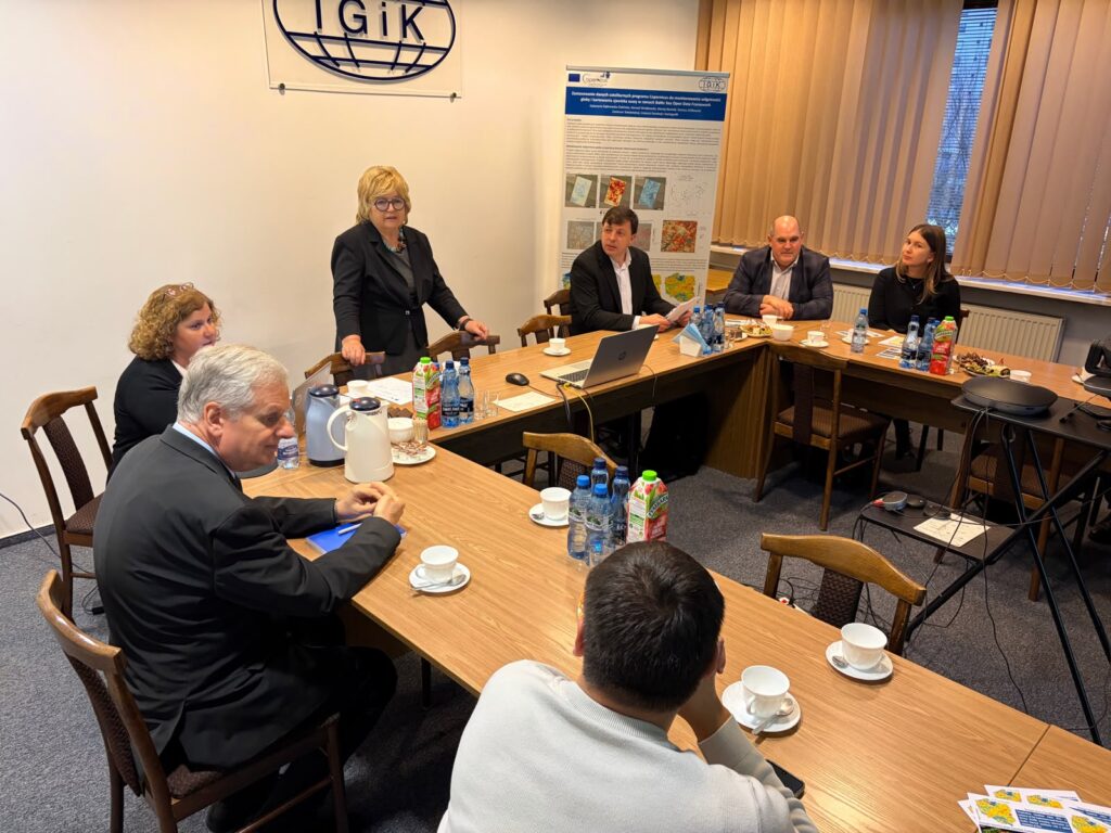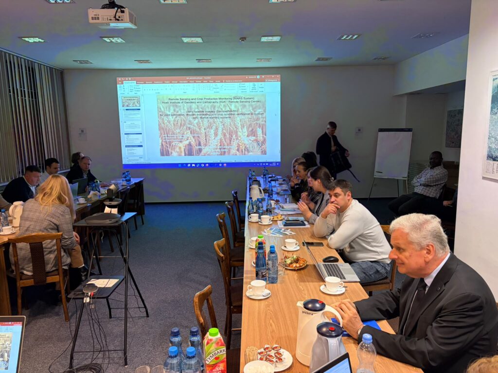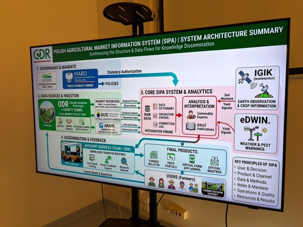

On 3 November 2026, the Institute of Geodesy and Cartography (IGiK) welcomed a delegation of representatives from public administration bodies, research institutions, and organisations involved in the agricultural sector in the Republic of Moldova. The meeting was part of a study visit focused on Poland’s experience in agricultural monitoring and forecasting, in the context of the planned development of the Agricultural Market Information System (SIPA) in Moldova.
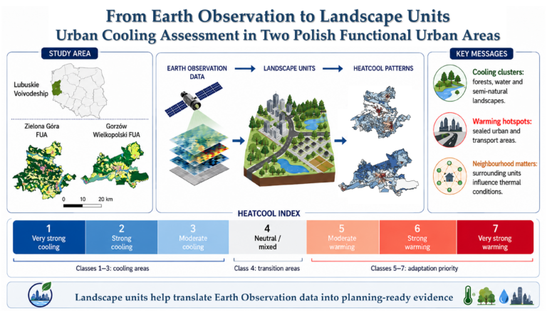
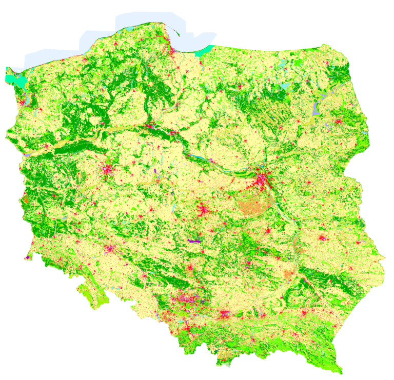
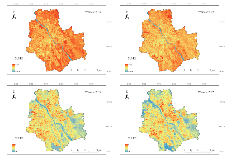
During the meeting, representatives of the IGiK Remote Sensing Centre presented the Institute’s research and implementation activities, focusing on practical applications of satellite data in agriculture. The topics discussed included methods for crop condition monitoring, yield forecasting, agricultural drought detection, and the use of Earth observation data to support official statistics and agricultural administration.
The presentation also highlighted selected solutions developed for Statistics Poland (GUS) and the Agency for Restructuring and Modernisation of Agriculture (ARMA), as well as the IMAGE-UP, GAUSS, and AGRONAUTS research and development projects.
An important part of the visit was a discussion on experiences gained from implementing research and applied projects, as well as the potential use of satellite technologies within the developing SIPA system. The participants explored opportunities for integrating remote sensing data with other information sources to support agricultural production monitoring and decision-making in the agricultural sector.
The visit took place within the framework of the Sustainable Food Systems initiative, funded by the European Union and the Czech Republic, which supports the development of a modern, sustainable, and climate-resilient agricultural sector in Moldova.