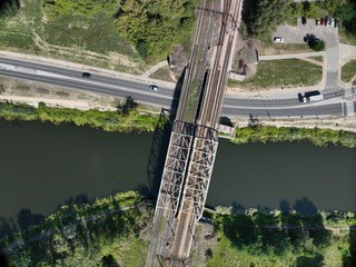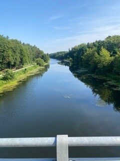

The Applied Geomatics Centre of the Institute of Geodesy and Cartography (IGiK) has completed an aerial surveying campaign of the Żerań Canal using the DJI Mavic 3 Multispectral drone.
The objective of the campaign was to acquire high-resolution geospatial data for an area with a high concentration of critical infrastructure, including hydraulic engineering structures, bridges, and electricity, gas, water supply, and telecommunications networks.
During the campaign, the team completed 220 km of flight missions, collecting approximately 50,000 RGB and multispectral images covering 15 km of the Żerań Canal and 750 hectares of surrounding land. In total, approximately 435 GB of geospatial data were acquired.
#IGiK #Geomatics #UAV #DigitalTwin #CriticalInfrastructure #SecurityEngineering