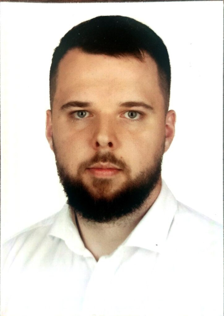
A graduate of the Faculty of Earth Sciences and Spatial Management at Maria Curie-Skłodowska University in Lublin, where he completed studies in the field of geoinformatics.
His engineering thesis focused on the application of ETL tools for the management and integration of spatial data, using one of the provincial cities as a case study. His master’s thesis concerned the analysis of the phenomenon of deagrarisation in selected municipalities of the Lublin Voivodeship using Landsat satellite data, taking into account the impact of soil quality and terrain slope on this process.
He has been affiliated with the Institute of Geodesy and Cartography since July 2025. Currently employed as a junior GIS specialist, involved in the implementation of the CORINE2024 project.

