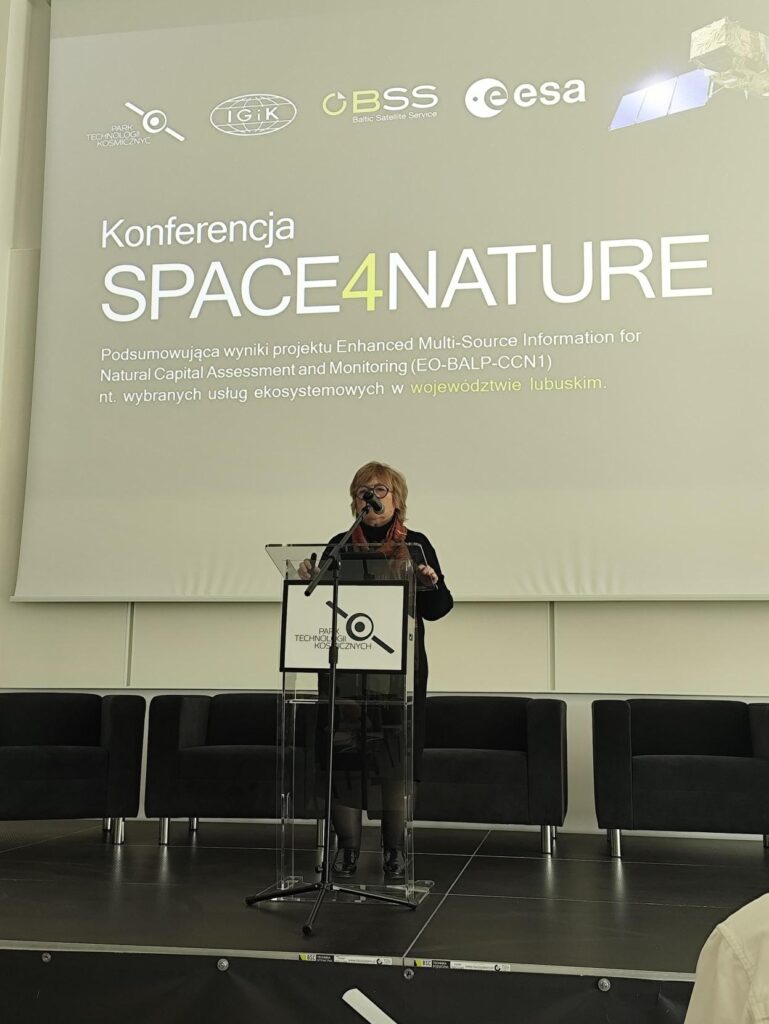
On 2 June 2026, the “SPACE4NATURE” conference was held at the Space Technology R&D&I Park in Zielona Góra, summarizing the results of the Enhanced Multi-Source Information for Natural Capital Assessment and Monitoring (EO-BALP-CCN1) project. The event, dedicated to selected ecosystem services in the Lubuskie Voivodeship, brought together experts and representatives of the regional authorities to discuss modern tools for assessing the state of the environment.
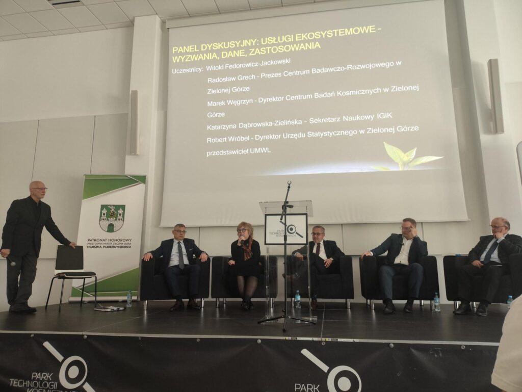
The Institute of Geodesy and Cartography was represented by a large group from two research centers: the Remote Sensing Center (headed by Prof. Katarzyna Dąbrowska-Zielińska and Konrad Wróblewski) and the Applied Geomatics Center (headed by Dr Anna Markowska, Wiktor Mróz and Julia Baranowska). The conference was officially opened by Dr Katarzyna Cheba, Professor at the University of Zielona Góra, and Prof. Katarzyna Dąbrowska-Zielińska.
During the technical sessions staff from the Institute of Geodesy, Cartography and Geoinformation presented a range of research solutions:
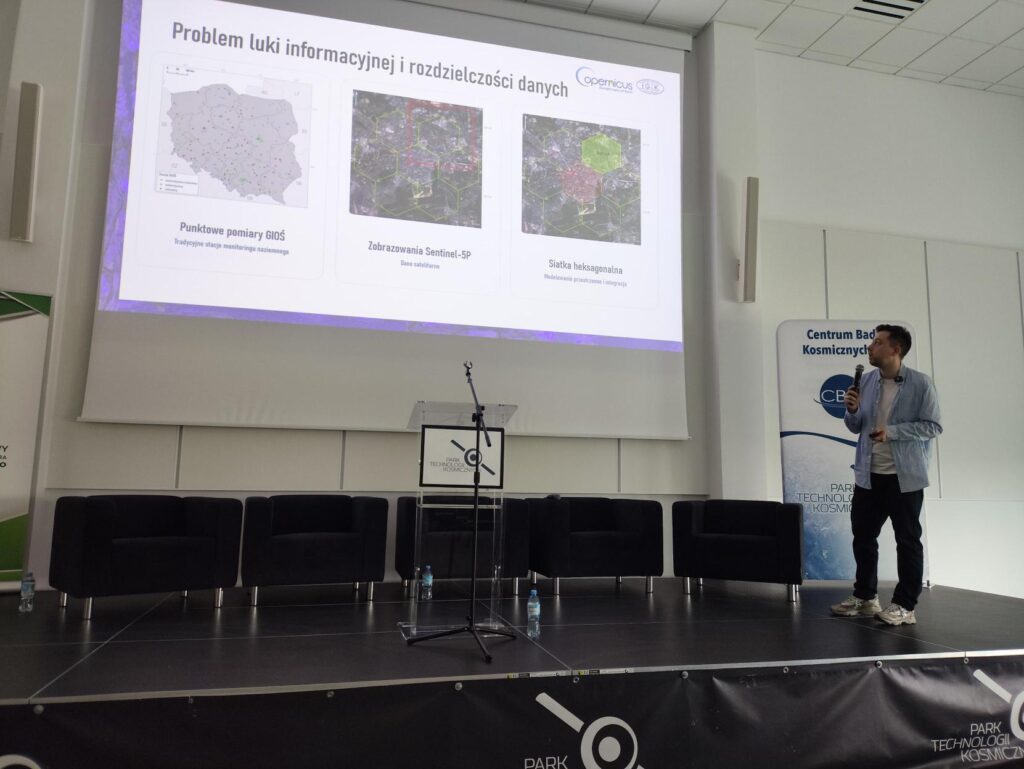
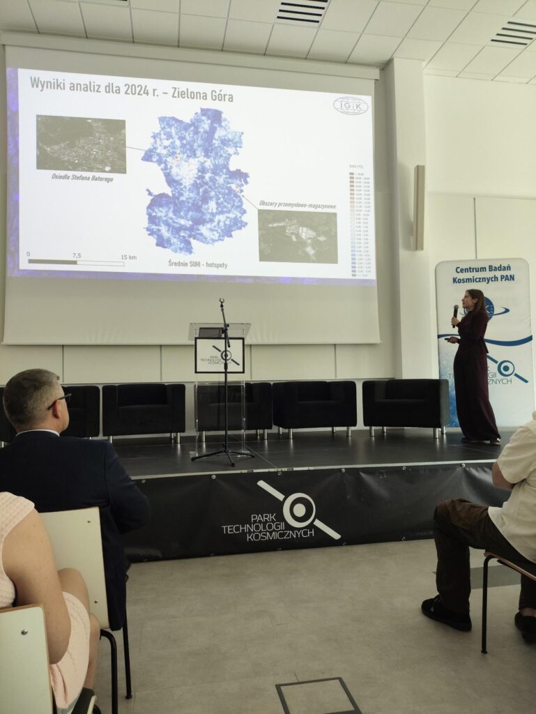
- Julia Baranowska (in collaboration with Dr Anna Markowska and Wiktor Mroz) delivered a presentation entitled ‘Integration of multi-source spatial data in monitoring of the urban heat island effect’ focusing on the use of advanced geospatial analyses in the study of urban microclimates.
- Prof. Katarzyna Dąbrowska-Zielińska (co-authors: Konrad Wróblewski, Dr Ewa Panek-Chwastyk, Dr Maciej Bartold) gave a presentation entitled “Risks of water shortages and excessive waterlogging following heavy rainfall, monitored by optical and radar satellites”. The presentation illustrated the key role of satellite data in hydrological risk management.
- Konrad Wróblewski (in collaboration with Dr Szymon Jakubiak) presented a presentation entitled “The application of machine learning in the assessment of parameters influencing nitrogen dioxide concentrations” highlighting the potential of artificial intelligence in air quality monitoring.
In addition, Prof. Katarzyna Dąbrowska-Zielińska took part in a panel discussion on the challenges, data and applications relating to ecosystem services. The participation of IGiK representatives at the SPACE4NATURE conference highlighted the importance of remote sensing and geomatics in the assessment of natural capital and their practical application in supporting environmental decision-making at regional level.
All materials produced as part of the project as well as the detailed results of the analyses are available directly on the website and the map portal:
- Project: https://eo-balp.ptklubuskie.com/en/home/
- Map portal: https://eo-balp.ptklubuskie.com/lubuskie/