12th Advanced Training Course on Land Remote Sensing: Hydrology and hazards.
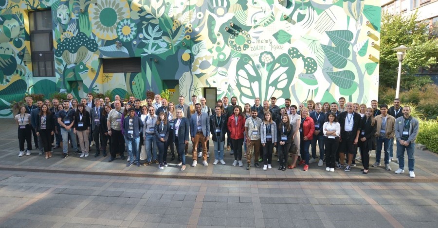
The course curriculum was designed around a series of lectures, workshops, and practical field exercises led by experts hailing from ESA, the Wrocław University of Environmental and Life Sciences, and other collaborative partners. The primary objectives of this event were to facilitate the acquisition of fresh knowledge, the exchange of professional experiences, and the exploration of scientific interests among its participants.
Of paramount importance, the course aimed to nurture the next generation of scientists and specialists in the domain of remote sensing, specifically focusing on applications related to hydrology and hydrological hazards. The training program covered a spectrum of topics, including the elucidation of theoretical underpinnings, discussions on data processing algorithms for various types of data originating from optical, thermal, and microwave sensors. It also introduced tools and methodologies for leveraging satellite-derived data, with a particular emphasis on the Sentinel missions and emerging Synthetic Aperture Radar (SAR) missions. Notably, within the workshop sessions, there was a dedicated poster presentation segment. During this session, the following research topics were showcased: (1) Soil Moisture Conditions in Poland based on Dynamic World Land Cover and Sentinel 1 data (E. Panek-Chwastyk, K. Dąbrowska-Zielińska), (2) Mapping Forest and Grassland Fires using a Machine Learning Approach and Sentinel-2 data (A. Rynkiewicz, A. Hościło, A. Lewandowska).
For more detailed information, you can visit the official workshop website at: href="https://landtraining2023.esa.int">landtraining2023