About
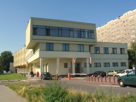 The Institute of Geodesy and Cartography was established in 1945. It operates according to the provisions of the scientific institutes. The headquater of the Institute is located in Warsaw, Mokotów, 27 Modzelewskiego St. (previous Jacka Kaczmarskiego). The Geodetic-Geophysical Observatory Borowa Góra located in Jadwisin upon the Zegrzyński Reservoir belongs to the Institute.
The mission of the Institute is to carry out research and applided works in the field of surveying and mapping and related disciplines for science, geodetic and cartographic practice for the needs of state and local governments, national security, as well as for surveying and cartographic enterprises.
An important part of the Institute’s activity is also conducting research and applided works in the field of basic geodetic measurements, as well as the applicaton of aerial and satellite remote sensing in agriculture, environmental protection, regional planning and public statistics.
The Institute cooperates with many national, foreign and international institutions and organizations in carrying out research and development activities.
The Institute supports the process of implementation of the infrastructure for spatial information through the realization of research and development in this field. These works are conducted in accordance with the INSPIRE Directive and national regulations related to the area of digitalization of the state.