Invitation to the 2nd InCoNaDa webinar
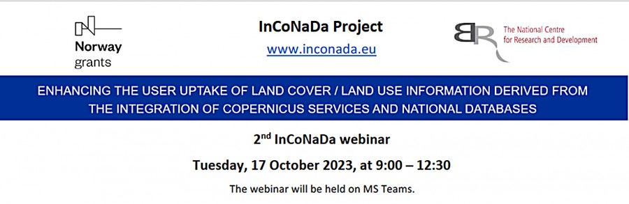
On behalf of the consortium of InCoNaDa project: "Enhancing the user uptake of Land Cover / Land Use information derived from the integration of Copernicus services and national databases", we would like to invite you to the 2nd InCoNaDa online webinaron the 17th October 2023 (9:00 – 12:30).
The main goal of InCoNaDa is to improve the user uptake of land cover and land use information derived from the integration of Copernicus Land Monitoring Service (CLMS) and national databases. At this webinar we would like to introduce you to the InCoNaDa project, present the recent outcomes of the project and trigger discussion about the best use of CLMS products. It is important to understand the potential of the CLMS products for decision makers, reporting obligations, monitoring of natural resources and agricultural landscape, urban and spatial planning and reporting of greenhouse gas emissions and removals from LULUCF. Project is conducted in the consortkum: Institute of Geodesy and Cartography (project leader), Institute of Environmental Protection – National Research Institute, Lodz University of Technology, Norwegian Institute of Bioeconomy Research (Norsk institutt for bioøkonomi) and Eversis Sp. z o.o.
Link to the webinar: Webinar InCoNaDa
Agenda: