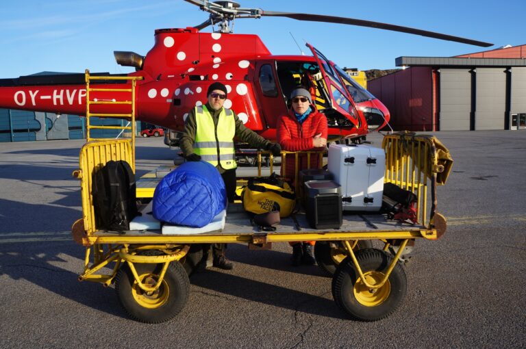
MSc Eng. Michał Kałuski graduated The Faculty of Geodesy and Cartography of The Warsaw University of Technology. He graduated in 2017 on specialization Geographic Information Systems. In his master thesis he examined the use of methods of network analysis to improve traffic during various mass events taking part in the streets of big cities.
Michał is employed at the Institute of Geodesy and Cartography since 2017, currently in the position of specialist at Centre of Applied Geomatics. He deals with automatization of data processing, image classification, building and sharing spatial data bases and developing new tools for analysing and processing satellite and vector data.
E-mail: michal.kaluski@igik.edu.pl
ORCID: https://orcid.org/0000-0002-6454-8046
Participation in research projects:
Norway Grants – InCoNaDa (2020-2023) Enhancing the user uptake of Land Cover / Land Use information derived from the integration of Copernicus services and national databases
EO4GEO (2018-2022) Innovating solutions for Earth Observation/ Geoinformation training
Former forests (2018-2020) Identification of forests on former farmland based on available satellite data
SAT4EST (2017-2019) Earth observation based service supporting local administration in non-state forest management
CORINE Land Cover 2018 (2017-2018)
Recent publications / presentations / posters:
Hoscilo A., Lewandowska A., Kaluski M., 2019, SAT4EST – Sentinel-based service supporting local administration in forest management, Living Planet Symposium, 13-17 May 2019, Milan, Italy.
Kałuski M., Hościło A., Gurdak R., 2018, Accuracy assessment of the Copernicus Buildings Height 2012 layer based on the city of Warsaw, Geoinformation Issues, Vol. 10, No. 1(10), pp. 53-64. PAPER
Kałuski M., Chmiel J., Fijałkowska A., 2018, Wykorzystanie analiz sieciowych przy projektowaniu objazdów imprez masowych na przykładzie biegu Orlen Warsaw Marathon, Rocznik Geomatyki Vol. 16 No. 4(83). PAPER


