Degradation of wetland ecosystems caused by peatland fires
Project leader: Dr Agata Hoscilo
Title: Assessment of degradation of wetland ecosystem caused by wildfires using remote sensing data and methods.
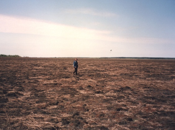
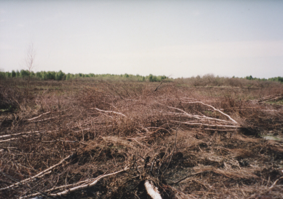
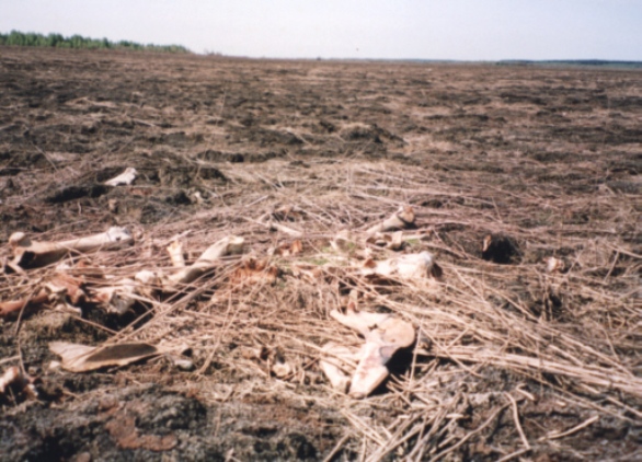
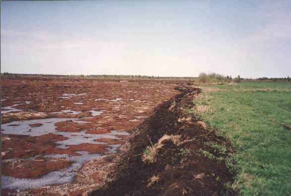 The aim of this project was to develop methods of assessment of degradation of wetland ecosystem caused by the fires that took place in 2002 in the Biebrza Valley National Park (BNP); one of the largest wetland areas in Europe (NATURA2000 and RAMSAR site). The fires were detected in several places and affected approximately 3000 ha of wetlands. The largest burn scar was located in the central part of the national park in Biele Suchowolskie. Peatland fires consume both the surface vegetation and the underlying peat, thereby releasing large amounts of CO2, CH4, NOx and other greenhouse gases into the atmosphere. Ground peatland fires penetrating deep into the peat are extremely hazardous, difficult to extinguish and result in heavy mortality of the vegetation and a large amount of smouldering emissions. The depth of the peat layer burn away depends on the level of ground water, intensity of burning and peat thickness.
Photos were taken after the fire (3.V.2003):
 |
 |
 |
Role of remote sensing in monitoring of fires:
In this study, we combined various satellite data and products of different spatial and spectral resolution obtained from optical, infrared, thermal and microwave sensors in order to detect fire, monitor fire propagation, map fire-affected area, assess pre- and post-fire vegetation condition and to monitor post-fire vegetation regrowth.
 The outbreak of the fire and fire propagation were analyzed using low and medium resolution images derived by the NOAA-AVHRR and MODIS-Terra sensors.
Fire propagation based on temporal changes in NDVI values – low values indicate burned vegetation.
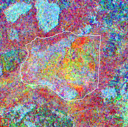
High resolution optical data from ASTER-Terra sensor and combination of radar data from ERS- SAR and ENVISAT ASAR were applied to map fire extent
Burned area mapped based on synergy of radar and optical data.
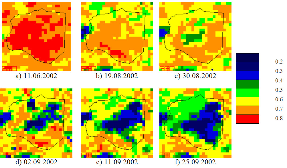
Analysis of spatial and temporal changes in the vegetation condition was done based on medium and high resolution optical images acquired by the ASTER-Terra. The results of post-fire classification were validated in the field. Finally the Normalized Difference Vegetation Index (NDVI) was used to assess post fire-vegetation regrowth within the fire-affected locations.
Because ground fire penetrates into the peat soil, we also made an attempt to measure the depth of burned peat over a larger area. This was done using Differential GPS - GPS RTK (Real Time Kinematic) technique. The GPS RTK technique allows to measure vertical and horizontal differences with 2 cm and 5 cm precision respectively. We found that on average the depth of the burned peat reached 10 - 40 cm, with maximum depth of 65 cm in Southern part of Biele Suchowolskie.
For more information contact : Dr Agata Hoscilo
agata.hoscilo@igik.edu.pl