Method of determining areas with diversified SM within wetlands
Project leader: prof. dr hab. Katarzyna Dabrowska-Zielinska
Duration: 01.11.1999 - 01.11.2002
Method of determining areas with diversified soil moisture within Biebrza Wetlands on the basis of synergic information derived from optical and microwave images
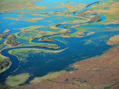
Biebrza Marshlands are the unique ecosystem related to appearance of large eutrophic wetlands, which include low peatlands with high natural value. Type of marshland depends on progressing degradation of peatlands. This degradation was caused by changes in water level due to irrigation done in the Middle Biebrza Basin. Strong succession of shrub and forest vegetation occurred on the irrigated areas. The acreage of peatlands in the Middle Biebrza Basin is 43 600 ha, including only 25 % of wet peat soils and 75 % of soils formed after irrigation.
The aim of the project was to prepare the method of examining soil moisture and its changes for Biebrza Basin on the basis of information acquired by optical and microwave satellites. This information will be used for evaluation of changes of water regime with the study area.
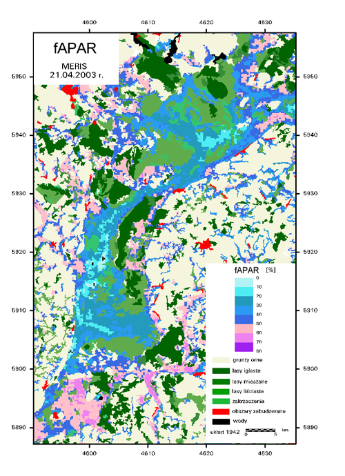
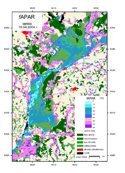
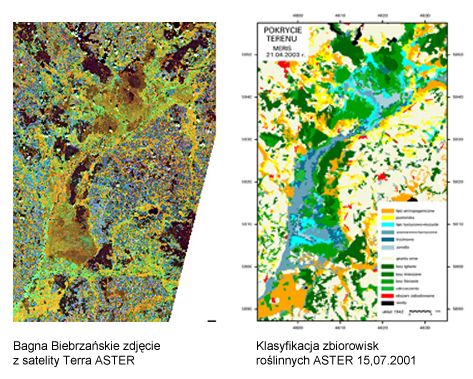
The study was done for 1995-2002 period. Classification of vegetation communities was conducted with the use of Landsat TM data collected in 1995 and 2001. Maps of soil moisture distribution were prepared for 1995-2001 period , taking into account roughness of vegetation canopy, using for this purpose ERS-2 SAR data. Using NOAA/AVHRR satellite images heat fluxes and evapotransiration values were calculated in order to determine index of moisture, which was a basis for preparing maps of soil moisture distribution.
Evapotranspiration values were compared with the ground lysimetric measurements and with real evapotranspiration calculated from meteorological data collected by Biebrza station. For determining vegetation indices with the use of optical bands satellite data from SPOT VEGETATION instrument were used.
![]()