Local flooding with satellite images
NOAA.AVHRR images were obtained from new system Dartcom installed at the Remote Sensing Department. Terra.MODIS images were downloaded from ReverbECHO server in 1-2 dayes after satellite overpassing Poland.
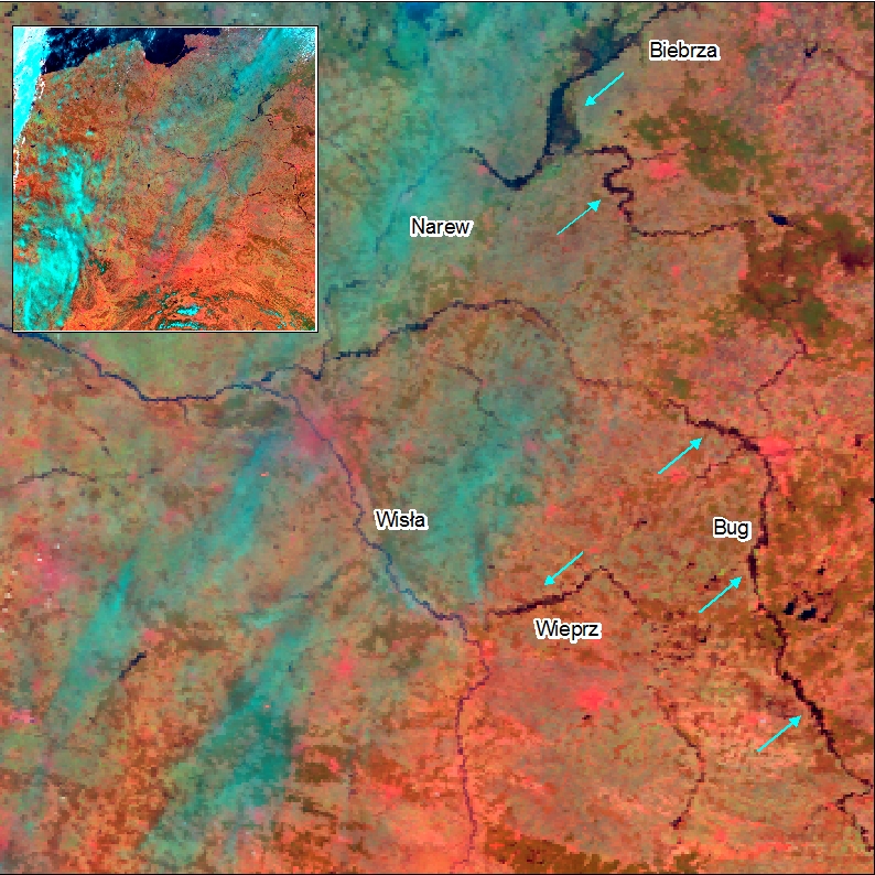
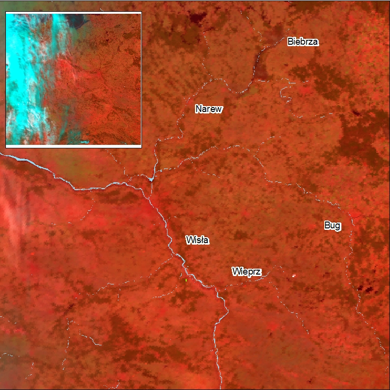
Terra.MODIS image was registered on 16. April 2012 (1) and NOAA.AVHRR image was obtained for 18. April 2013 (2). For comparison with normal river level next one NOAA.AVHRR image from 12. June 2012 was used (3). On the figures (1) i (2) there are arrows showed to mark observed local flooding locations.
(1) (2) (3)
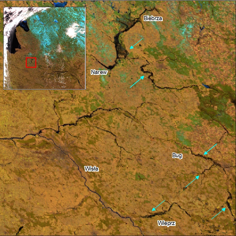
(1) RGB composition (6-2-1) Terra.MODIS MOD09GA. Spatial resolution 500m, date of registration: 16. kwietnia 2013
(2) RGB composition (3-2-1) NOAA.AVHRR. Spatial resolution 1000m, date of registration: 18. kwietnia 2013
(3) RGB composition (3-2-1) NOAA.AVHRR. Spatial resolution 1000m, date of registration: 12. kwietnia 2012
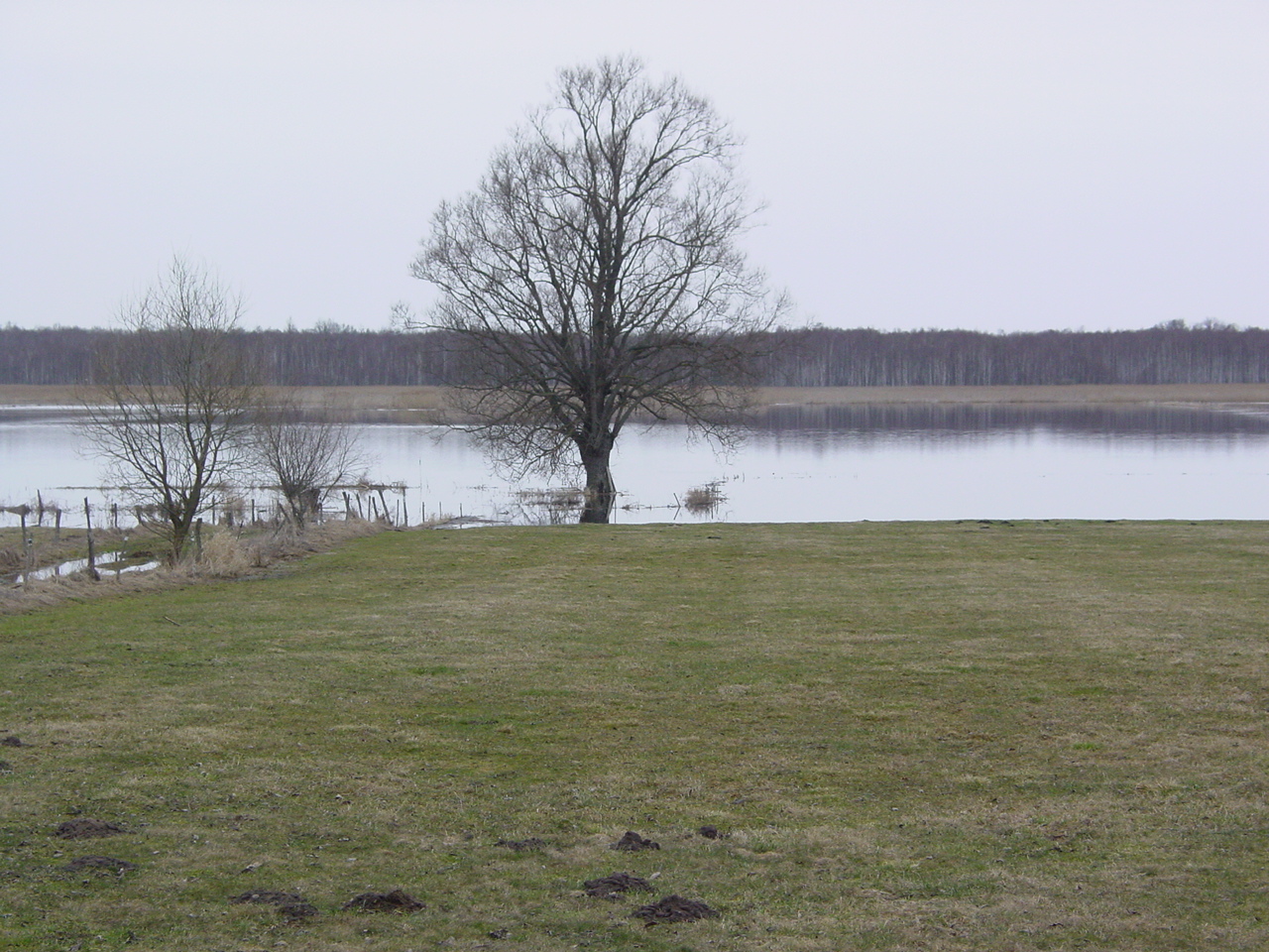
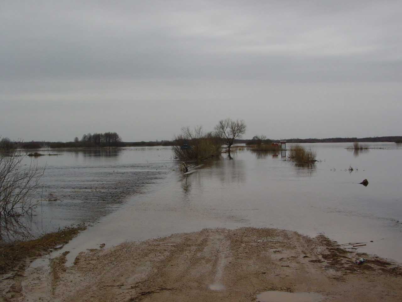
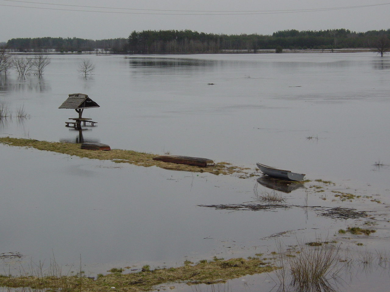
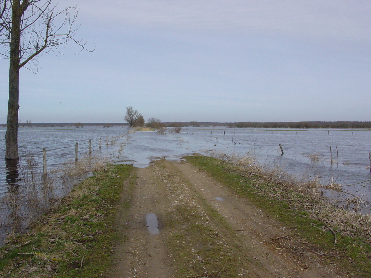
There were first in the year field measurements at Biebrza Wetlands on 18.-.21. April. Below photos taken drugin field campaign with local floodings observed at Dolistowo, Goniądz and Wizna sites are presented.