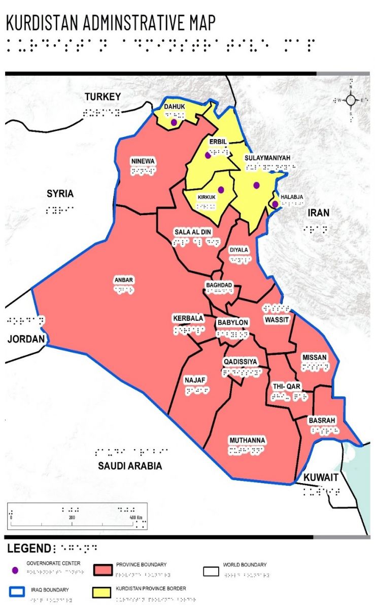
Seminarium Testing Maps for Visually Impaired and Blind Students in Kurdistan Regions, Iraq
9 grudnia 2019 roku w Instytucie Geodezji i Kartografii odbędzie się seminarium Ashna A. Kareem (Eötvös Loránd University, Faculty of Informatics, Department of Cartography and Geoinformatics, Hungary) pt.: "Testing Maps for Visually Impaired and Blind Students in Kurdistan Regions, Iraq"
Wszystkie zainteresowane osoby serdecznie zapraszamy do Instytutu na godzinę 9:00, do sali seminaryjnej na 2 piętrze.
Maps are the best solution to provide geographical information for partially impaired people. Present research uses Geographical Information System (GIS) to create paper maps which can be transferred onto a touch display where the user can choose different keys and settings (such as colour, measurement, etc.) to represent different forms of data. The test was developed in the Iraqi Kurdistan and Erbil, the capital, is taken as a sample city for this purpose. The main purpose was to investigate the extent which low vision people find digital and paper mappings useful. Also, the study explores the existing reasons that non-professionals use or avoid using this technology and compares it with the traditional maps that have been used before. The analysis of the questions given to the participants showed that there is an encouraging result in low vision people using maps in the near future and they are interested in introducing these maps into school curriculum.
Source: own study