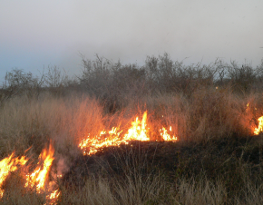
Fires
Integration of available geospatial data and access to reliable and up-to-date information about the situation during a fire are crucial in crisis management and helps to make the right decisions. Aerial and satellite images are widely used in the observation and analysis of the phenomenon of fires and in monitoring the situation after a fire. Using the Earth Observation data, we are able to obtain information on burned area, fire intensity, fire location, type of land cover classes affected by the fire. This information is the starting point for spatial and statistical analyses aimed at estimating the fire damages.
Example of the application of the Earth Observation and geospatial data in fire analysis:
Application of remotely sensed data to the management of fires events in Poland
http://www.igik.edu.pl/en/fire-monitoring-from-space
A novel approach to estimate fire intensity and carbon emissions over a decade of fires in Poland
http://www.igik.edu.pl/en/fire-intensity-estimation
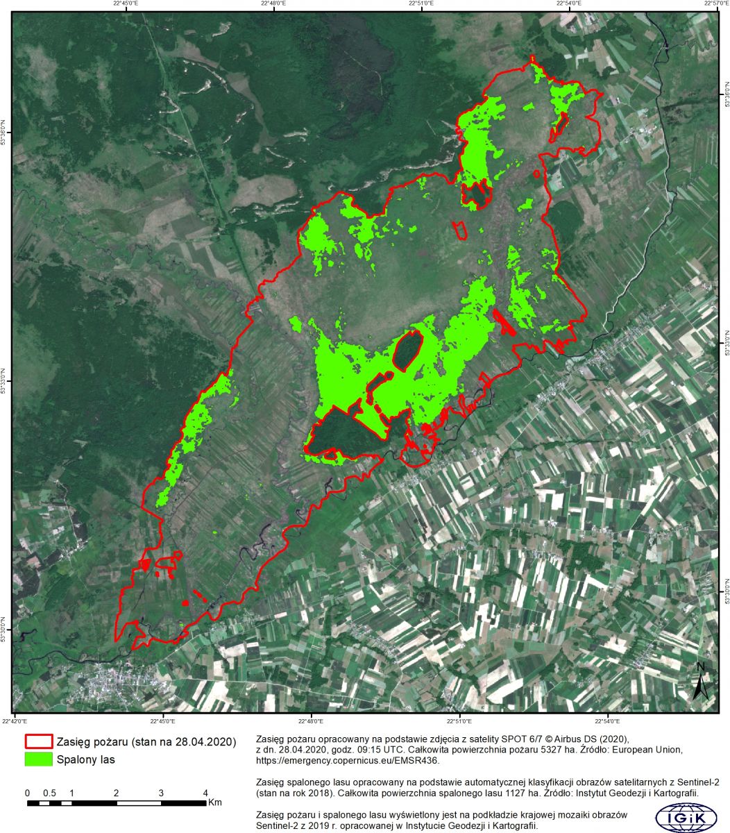
Fire in the Biebrza Valley National Park – April 2020
Based on the automatic classification of satellite images from Sentinel-2, we obtained information about the forest area affected by intensive fire which occurred in April 2020 over the peat area in the Biebrza Valley National Park.