Crops identification by using satellite images
CSO topic: Crop recognition based on SAR satellite data – assessment of usefulness of Sentinel-1 images on the basis of archival ENVISAT images with dual polarization HH and VV
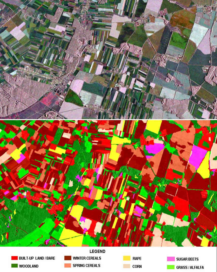
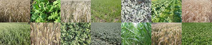
The methodology of classification of the main crops on the basis of ENVISAT ASAR images has been prepared within the project ordered by the Central Statistical Office. It will be applied for crop recognition with the use of recent radar images collected from fall 2014 by Sentinel-1. Research works were conducted using radar images with various polarizations (vertical and horizontal), collected in different parts of vegetation season. The aim of the work was to classify the main crops: winter cereals, spring cereals, corn, rape and sugar beets, using semi-automatic classification methods.
As a result of the research two methods were prepared, which enable to achieve 80 % accuracy of classification – object oriented approach based on decision-tree algorithm and approach based on artificial neural networks (Kohonen network). Comparison of acreages of the recognized land cover types with statistical data for the selected study area revealed high consistency of both data types, thus confirming quality of the remote sensing based method.


Methods of crop recognition with the use of remote sensing were highly developed recently, due to implementation in Europe the Integrated Administration and Control System - IACS.
In the Remote Sensing Centre the works aimed at crop recognition were carried out within research projects:
Crop classification is based on optical high-resolution images and radar images:
TerraSAR-X, ALOS PALSAR , Envisat ASAR.