Forest damages
Monitoring of forest damages in Poland and Slovakia based on Terra.MODIS satellite images
 The research was carried out within FP7 Geoland2 project, module SATCHMO AFS Europe.
Maciej Bartold, maciej.bartold@igik.edu.pl, phone +48 22 329-19-78
http://www.igik.edu.pl/en/a/Maciej-Bartold
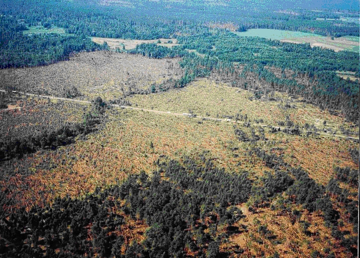
 Ten years since the largest post war disaster in the Polish forestry have passed last year. Back
then in July the hurricane in Masuria region caused a huge devastation in the area of Pisz forest. The pine monoculture deforestation caused by the destructive force of nature and the prevailing drought caused the fire risk conditions.
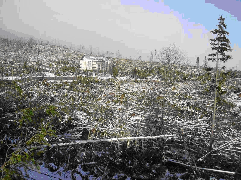
For research of forest destruction the satellite images taken in 2000 and 2006 were used. The observations were conducted at the area of Pisz forest, the Slovak Tatra Mountains and the forests along A1 and A4 motorway construction sites. The method for determining the range of deforestation caused by natural and anthropogenic impacts was developed. To validate the results the changes in change database Corine Land Cover 2000–2006 were used.
Terra.MODIS medium resolution images shown themselves good material for elaboration of effective method for monitoring of forest stands changes. The obtained accuracy of detecting changes in forest areas was very high reaching 96.1% for Pisz forest and 96% for Slovak Tatra Mountains. In case of deforestation at the motorways construction sites the accuracy was 57% and 54% for A1 and A4, respectively. The lower accuracy was due to narrow widths of the motorways construction sites while monitoring was based on the analysis of satellite images of spatial resolution of 250 m.
Publication:
 Bartold M., 2012, Monitoring of forest damages in Poland and Slovakia based on Terra.MODIS satellite images, Geoinformation Issues, Vol. 4, No. 1(4), pp. 23-31.
For more informations about forest researches click here - FORESTS

