Observations of snow cover from satellites
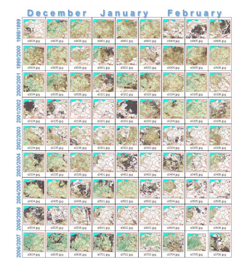
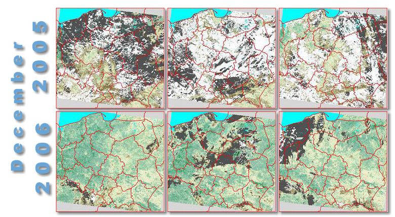
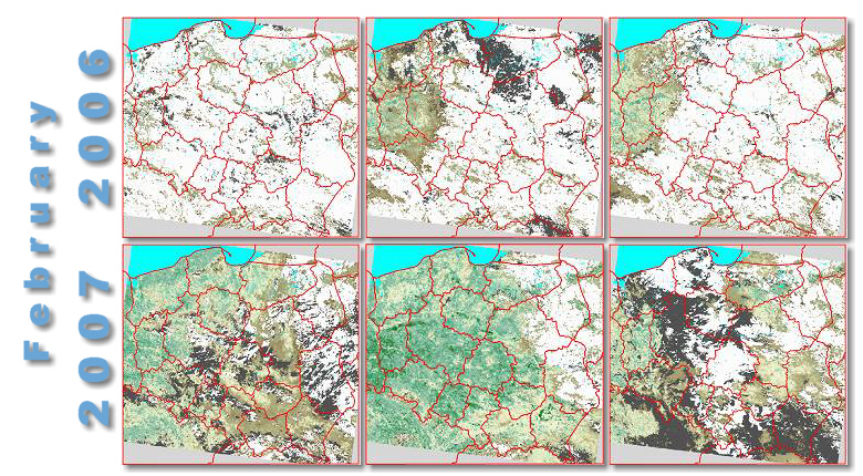
 Analysis of snow cover in country or regional scale is the important element needed for evaluation of crop development conditions. Range and period of covering agricultural areas with snow implies conditions of surviving winter cereals through winter time, as well as it determines water capacity of soils at the beginning of growing season, influencing acceleration or delay in crop development.
Low-resolution satellite images NOAA.AVHRR, Terra.MODIS, SPOT-VEGETATION, operationally acquired at Remote Sensing Centre, enable to monitor snow cover in Poland, allowing to conduct analyses aimed at assessment of crop quality at the start of growing period. Analyzing of snow cover is also applied for observations of areas with frozen winter cereals.
Snow cover observations derived from Terra.MODIS satellite observations


Snow cover observations derived from SPOT-VEGETATION satellite observations
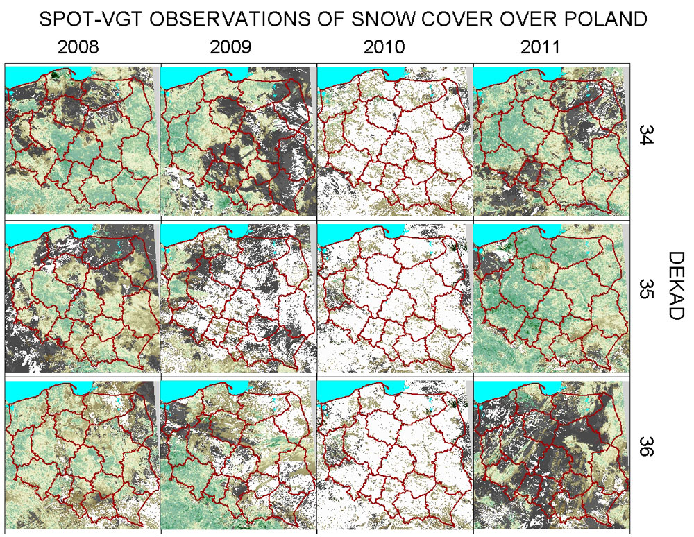
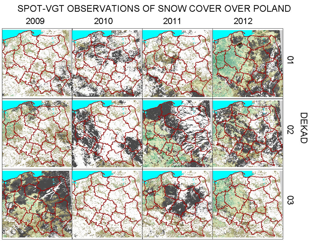
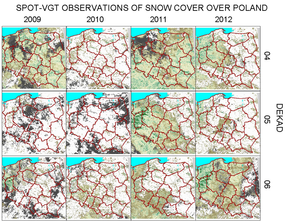
Snow cover review of winter seasons 2008/2009, 2009/2010, 2010/2011 i 2011/2012
|
Snow cover review in separate ten-day |
|
 |
|
|
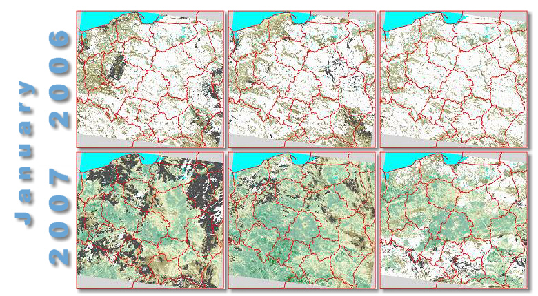
Comparison of 'snowy' season |