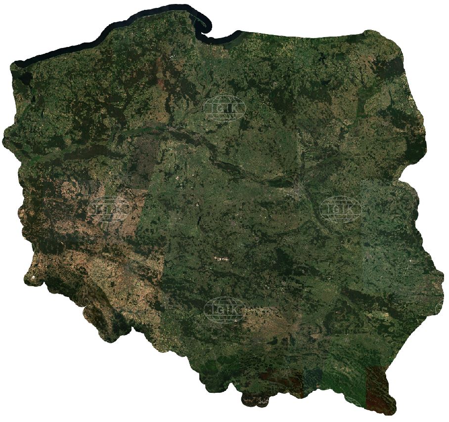
National mosaic of Sentinel-2 for 2018
A mosaic of images recorded by European Sentinel-2 satellites covers the territory of Poland, including a 10-kilometer buffer from the country's borders. The mosaic was generated by combining cloud-free satellite images recorded between April 1 and October 30, 2018 (87 images in total). Sentinel-2 images were downloaded from the Copernicus Open Access Hub and then atmospherically corrected with Sen2cor. The mosaic is available free of charge in RGB colour composition (channels 4, 3, 2), with a spatial resolution of 10 meters.
Rules for using the national Sentinel-2 mosaic:
The 2018 Sentinel-2 national mosaic WMS service is available at:
http://www.igik.edu.pl/en/Services
The mosaic is available free of charge for commercial and non-commercial purposes. We require the source to be provided in the form of:
- if used for visualization: © 2019 Institute of Geodesy and Cartography
- if used for other purposes: "National Sentinel-2 mosaic for 2018, developed by the Institute of Geodesy and Cartography based on cloudless Copernicus Sentinel-2 imagery from 2018."
Sentinel-2 national mosaic for 2018. Source: IGiK
Contact info: dr inż. Agata Hościło, e-mail:agata.hoscilo@igik.edu.pl
mgr Adam Waśniewski, e-mail:adam.wasniewski@igik.edu.pl

