Centre of Applied Geomatics
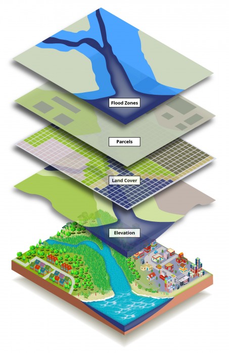
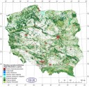
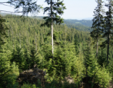
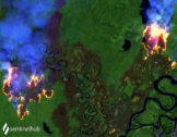
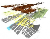
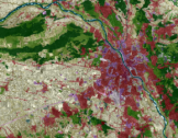
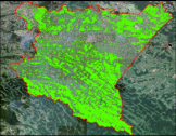
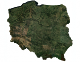
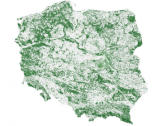
The work carried out at the Applied Geomatics is focused on practical application of geospatial and Earth Observation data for environment monitoring. We are particularly focused on using geospatial data for monitoring of land cover and land use changes, forestry, analysis of crisis situations and spatial planning. We deal with the automation of data processing as well as the harmonization and integration of EO data with other data in the GIS environment. In the Centre, we also use the linked data model together with the SPARQL database query language to store and represent geographic data. The international collaboration with European institutions and agencies play an important role in the implementation of the tasks carried by our Team.